

 Nebraska, United States
14 places to explore in Nebraska.
6 spots, 1 experience and 7 live cams
Railroads you can watch in Nebraska: Union Pacific and BNSF. All 7 live cams stream around the clock.
Map of Nebraska (14)
Cities in Nebraska (1)
Spots (6)
- No photoSpot
Crawford Hill
Crawford, Nebraska, United States
A free public county road, Saw Log Road, runs 20 to 30 m beside BNSF's double-track Butte Subdivision on the outside of a horseshoe curve o…
- No photoSpot
Gibbon Junction
Gibbon, Nebraska, United States
Gibbon Junction marks where Union Pacific's Marysville Subdivision branches south toward Kansas City from the triple-tracked Kearney Subdiv…
- No photoSpot
Scottsbluff (Coal Route)
Scottsbluff, Nebraska, United States
BNSF freight corridor through Nebraska's panhandle where coal trains from Wyoming's Powder River Basin roll past the dramatic sandstone blu…
 Spot
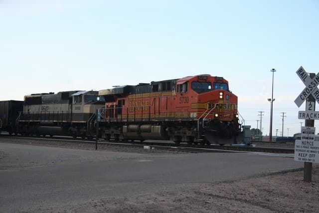
SpotAlliance (BNSF Yard)
Alliance, Nebraska, United States
Major BNSF classification yard and locomotive facility in western Nebraska, a key hub for Powder River Basin coal traffic since the Burling…
 Spot
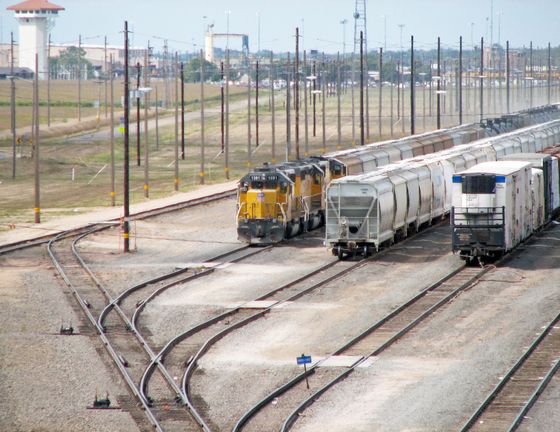
SpotNorth Platte (Bailey Yard)
North Platte, Nebraska, United States
The world's largest railroad classification yard — 2,850 acres, 315 miles of track, and an average of 139 Union Pacific trains per day. The…
- No photoSpot
O'Fallons (Triple Track)
Sutherland, Nebraska, United States
O'Fallons marks the western end of Union Pacific's famous triple-track Kearney Subdivision, where the mainline from Chicago meets the North…

Experiences (1)
Live Cams (7)
41.145° N · 100.830° W
© Esri, HERE, Garmin, © OpenStreetMap
Union Pacific
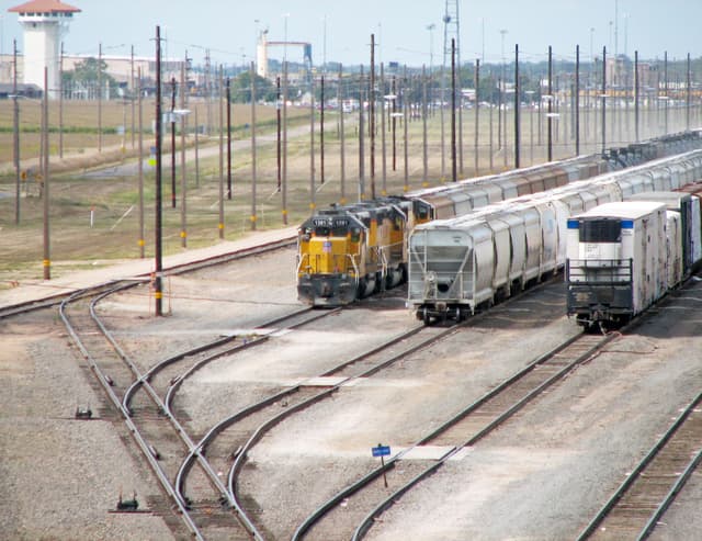
Live CamNorth Platte, Nebraska — Golden Spike Tower East
North Platte, Nebraska, United States
An elevated view over Union Pacific's Bailey Yard — the world's largest rail classification yard — from the Golden Spike Tower & Visitor Ce…
40.857° N · 99.985° W
© Esri, HERE, Garmin, © OpenStreetMap
Union Pacific
Live CamCozad, Nebraska — UP Kearney Subdivision
Cozad, Nebraska, United States
A 24/7 view of Union Pacific's three-track Kearney Subdivision at Cozad, Nebraska, on the original transcontinental route between North Pla…
40.694° N · 99.088° W
© Esri, HERE, Garmin, © OpenStreetMap
Union Pacific
Live CamKearney, Nebraska — UP Kearney Subdivision
Kearney, Nebraska, United States
West- and east-facing cameras on Union Pacific's Kearney Subdivision at milepost 188.8 in Nebraska. Three main tracks, up to 80 freight tra…
41.145° N · 100.830° W
© Esri, HERE, Garmin, © OpenStreetMap
Union Pacific
Live CamNorth Platte, Nebraska — Golden Spike Tower West
North Platte, Nebraska, United States
A view of Union Pacific's Bailey Yard in North Platte, Nebraska, from the Golden Spike Tower & Visitor Center.
40.253° N · 97.558° W
© Esri, HERE, Garmin, © OpenStreetMap
Union Pacific
Live CamBelvidere, Nebraska — C Street Crossing
Belvidere, Nebraska, United States
Union Pacific's double-track Marysville Subdivision at the C Street crossing in Belvidere, Nebraska, beside the community's open-air train-…
40.933° N · 98.338° W
© Esri, HERE, Garmin, © OpenStreetMap
BNSF
Live CamGrand Island, Nebraska — Hall County Historical Society Depot
Grand Island, Nebraska, United States
A view from the Burlington Station museum in Grand Island, Nebraska, over the BNSF Ravenna Sub and UP Kearney Sub, with a bridge, grade cro…
40.807° N · 96.720° W
© Esri, HERE, Garmin, © OpenStreetMap
BNSF
Live CamLincoln, Nebraska — BNSF Hobson Yard
Lincoln, Nebraska, United States
An east-facing camera on BNSF's Hobson Yard in Lincoln, Nebraska, where the Ravenna, Saint Joseph, Creston and Hastings Subdivisions meet.…