Spotting Location
Thayer (BNSF)
Thayer, Missouri is a historic railroad town and BNSF crew change point on the busy Springfield-to-Memphis corridor. The Thayer North and Thayer South Subdivisions carry heavy coal and intermodal traffic through this small Ozark community founded as a railroad division point in 1882.
Photos
No photos yet — be the first to share one!
Trainspotting Experience
Thayer is a classic American railroad town, built in 1882 specifically as a division point for the Kansas City, Springfield and Memphis Railroad. Today it serves as a BNSF crew change point on the heavily-trafficked Springfield-to-Memphis corridor, meaning trains frequently slow or pause here as crews swap out. This creates extended viewing opportunities that most through-running locations cannot match. The town sits in Oregon County on the northern edge of the Ozark Plateau, at roughly 528 feet elevation, with the BNSF main line running through the center of town. Public roads parallel and cross the tracks at several grade crossings, providing multiple vantage points within easy walking distance. The surrounding terrain is gently rolling, with mixed hardwood forest and open pasture giving way to low limestone outcrops. Thayer's population of around 1,900 means road traffic is minimal, and the ambient noise between trains is mostly birdsong and distant cattle. At the turn of the 20th century, some 400 railroad employees lived here — the payroll was the backbone of the local economy, and the town's railroad heritage remains visible today.
Landscape, Setting & Local Atmosphere
Thayer sits at the transition between Missouri's Salem Plateau and the deeper Ozark valleys to the south. The elevation of approximately 528 feet places it in a shallow valley of mixed hardwood forest — predominantly oak, hickory, and cedar — interspersed with open pasture and low limestone outcrops. The BNSF main line threads through this landscape on a generally north-south alignment as it descends toward the Arkansas state line and Mammoth Spring, just a few miles to the south. The terrain is gentle enough to provide broad sightlines along the track in both directions, yet hilly enough to create interesting backdrops. Rainwater from the high plateau around Thayer feeds underground channels that emerge at Mammoth Spring, Arkansas — one of the largest springs in the United States, pumping nine million gallons per hour. This geological connection means the Thayer area is underlain by karst topography, with sinkholes and caves common in the surrounding countryside. Grand Gulf State Park, Missouri's "Little Grand Canyon," lies just 6 miles west of town, where a collapsed cave system has left a chasm three-quarters of a mile long and up to 120 feet deep.
Type & Frequency of Train Activity
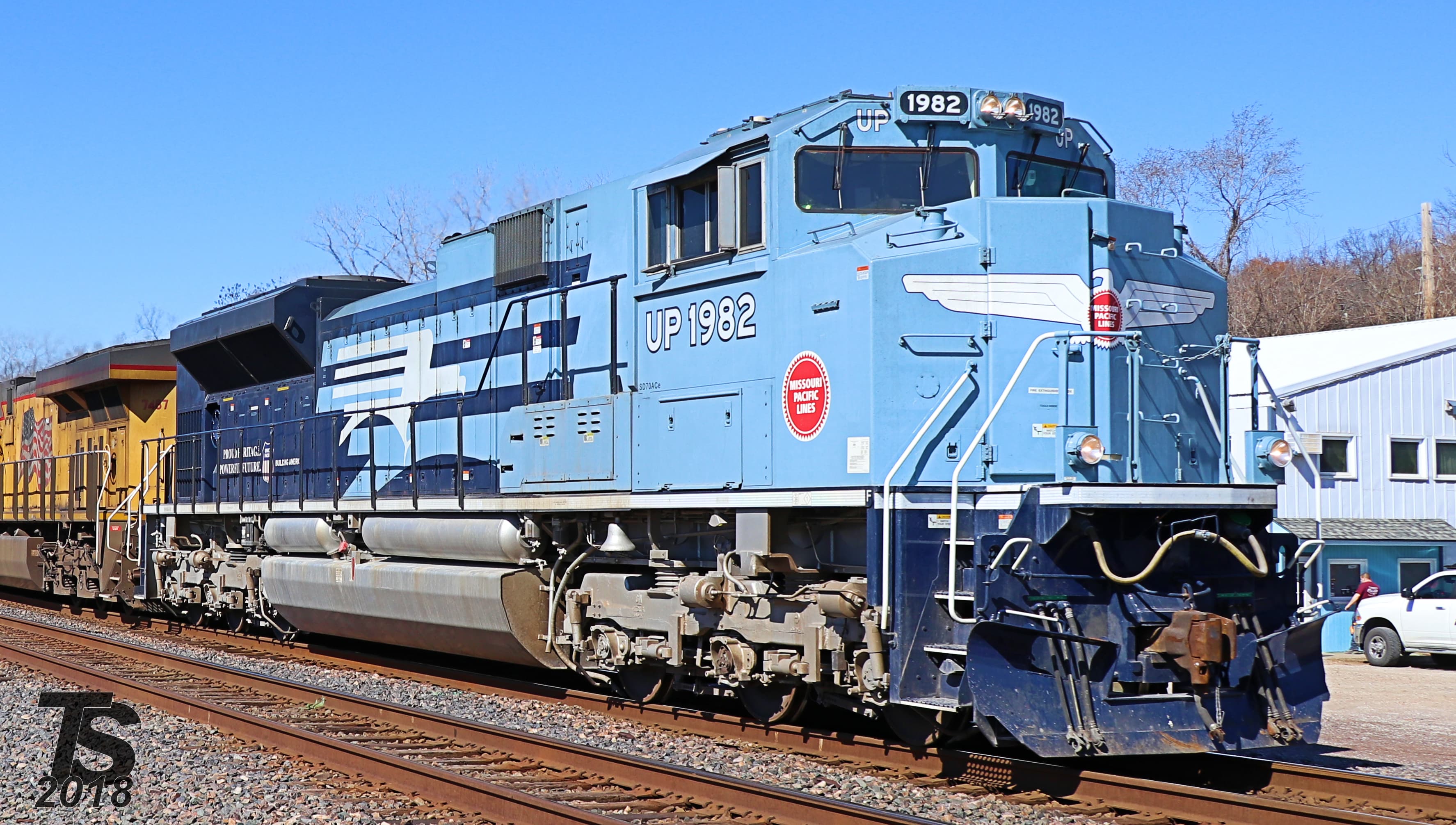
BNSF's Thayer Subdivisions (split into Thayer North and Thayer South at this point) form a primary freight corridor linking Springfield, Missouri with Memphis, Tennessee. This route is one of the busiest lines converging on Springfield, which itself handles around 35 coal, intermodal, manifest freight, and local trains daily across its various subdivisions. The Thayer corridor carries a substantial share of that traffic, dominated by two commodity types: unit coal trains originating from the Powder River Basin in Wyoming, routed through Kansas City and Springfield en route to power plants served via Memphis; and intermodal stacks running some of BNSF's hottest premium schedules between the Midwest and the Southeast. Manifest freight and grain trains round out the traffic mix. Southbound coal trains sometimes require helper locomotives to climb the grades south of Springfield before descending through Thayer toward Mammoth Spring and into Arkansas. The line is single-track with passing sidings, meaning opposing movements sometimes meet and wait here, adding to viewing time.
Best Angles for Photos & What Railfans Enjoy Most
The BNSF main line runs roughly north-south through Thayer, crossing several public roads at grade. These crossings offer safe, legal vantage points at track level. Morning light illuminates the east side of trains heading south (toward Memphis), while afternoon sun favors northbound movements. The terrain on either side of the tracks includes slight embankments and open ground that can provide elevated angles, particularly useful for capturing long coal or intermodal consists curving through the landscape. A lens in the 70-200mm range covers most situations: wide enough for locomotives filling the frame at crossings, and long enough to compress distant trains against the Ozark hills. Fall foliage (mid-October through early November) creates vivid natural frames of gold and red hardwoods along the right-of-way. Because Thayer is a crew change point, trains occasionally stop or slow significantly, allowing detailed roster shots of locomotive numbers and paint schemes without the blur of track-speed movement.
Historical or Cultural Relevance
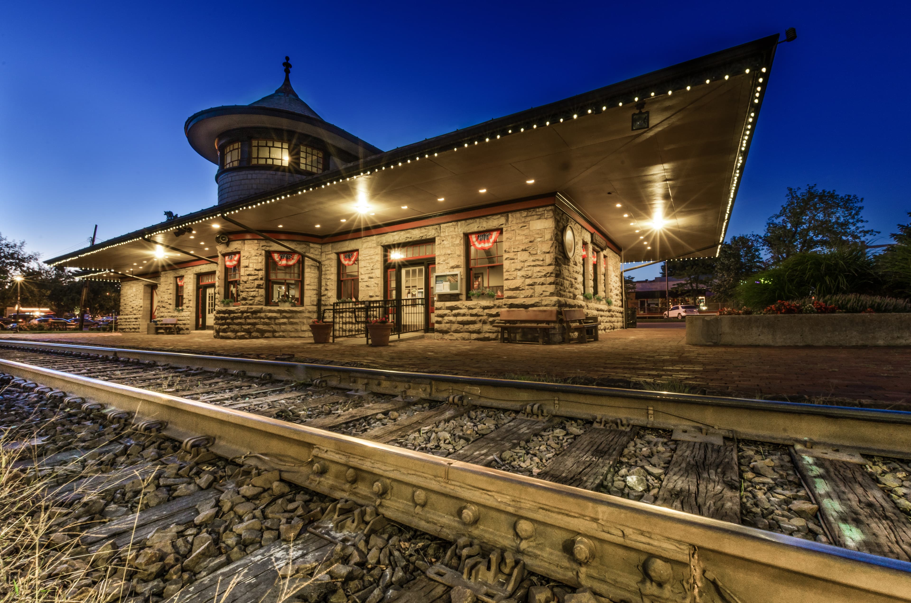
The rail line through Thayer was built by the Kansas City, Springfield and Memphis Railroad, which laid out the town in 1882 as a division point. The community was originally called Division, then Augusta, before being renamed Thayer in 1886 to honor Nathaniel Thayer, a prominent Boston railroad stockholder. By the turn of the 20th century, approximately 400 railroad employees lived in Thayer, making the railroad payroll the economic engine of the town. The line was acquired by the St. Louis-San Francisco Railway (universally known as the "Frisco") around 1901, which operated it as part of its Kansas City-to-Memphis corridor. Thayer served as a division point with facilities for servicing locomotives, particularly helper engines needed for the Ozark grades, until dieselization reduced the need for such intermediate service points in the 1950s. The Frisco merged into Burlington Northern on November 21, 1980, and BN subsequently became BNSF Railway in 1995. Just across the state line in Mammoth Spring, Arkansas, the beautifully restored 1886 Frisco depot — the oldest railroad station in Arkansas — now serves as a free museum with life-size figures, railroad artifacts, and a restored Frisco 1176 caboose.
What Makes This Spot Different
Thayer's value as a railfan destination lies in the convergence of several factors that are hard to find together elsewhere in the rural Ozarks. First, as a crew change point on a high-volume coal and intermodal corridor, trains regularly slow or stop, providing extended viewing and photography opportunities. Second, the town's compact layout means multiple viewing angles along public roads within walking distance — no need to drive between distant crossings. Third, the combination of BNSF power on a former Frisco line creates occasional heritage interest, especially when special movements or geometry cars appear. Fourth, the proximity to Mammoth Spring State Park (with its free Frisco depot museum and restored caboose), Grand Gulf State Park, and the Mammoth Spring National Fish Hatchery means that non-railfan travel companions have genuine activities nearby. The area is remote enough to feel uncrowded but accessible via US Highway 63, which connects to Springfield (about 80 miles north) and the larger West Plains area.
Frequently Asked Questions
QIs Thayer, Missouri a crew change point?
Yes, Thayer is a BNSF crew change point on the Springfield-to-Memphis corridor. Crews swap here, which means trains frequently slow or stop, providing extended viewing opportunities.
QWhat types of trains run through Thayer?
The BNSF Thayer Subdivisions carry primarily unit coal trains from the Powder River Basin headed to Memphis, premium intermodal trains, and manifest freight. Grain trains also use the corridor.
QIs there a railroad museum near Thayer?
Yes, the 1886 Frisco Train Depot Museum in Mammoth Spring, Arkansas (just across the state line) is free to visit. It features life-size figures, railroad artifacts, and a restored Frisco 1176 caboose.
QWhat is the best season to visit Thayer for trainspotting?
Fall (October-November) offers spectacular Ozark foliage as a backdrop. Spring brings dogwood and redbud blooms. Summer has the longest daylight but is hot and humid. Winter is mild but occasional fog creates atmospheric shots.
QHow do I get to Thayer, Missouri?
Thayer is located on US Highway 63 in Oregon County, about 80 miles south of Springfield, Missouri. The nearest larger town is West Plains, about 30 miles north.
Safety Tips
All viewing is from public road crossings — stay well back from the tracks and never stand on the rails or between tracks. Coal and intermodal trains move at considerable speed through town. Be aware of train horns at grade crossings. The area has minimal cell service in some spots, so plan accordingly. In summer, watch for ticks and chiggers common in Ozark vegetation.
Seasonal Information
Spring (April-May) brings dogwood and redbud blooms along the right-of-way, adding color to train photos. Summer offers long daylight hours but can be hot and humid in the Ozarks. Fall foliage in October-November provides vivid backdrops of red and gold hardwoods. Winter is mild by Midwestern standards but occasional frost and fog can create atmospheric morning shots. The BNSF Thayer South Subdivision experienced a bridge washout near Mammoth Spring in early 2025, a reminder that severe weather can temporarily disrupt service.
Nearby Lodging
Find places to stay near Thayer (BNSF).
Accommodation results are provided by Stay22; we may earn a commission on bookings made through this map.
Nearby Attractions
3.1 miles / 5 km
The oldest railroad station in Arkansas, beautifully restored with life-size figures, railroad artifacts, and a Frisco 1176 caboose. Free admission. Located in Mammoth Spring State Park.
3.1 miles / 5 km
Home to one of the largest springs in the United States, pumping nine million gallons per hour into a 10-acre lake. Free entry with walking trails, picnic areas, and pedal boat rentals.
3.4 miles / 5.5 km
Established in 1903, this federal hatchery uses cool gravity-flow water from Mammoth Spring. Self-guided tours, aquariums, and birding opportunities. Free admission.
6.2 miles / 10 km
Missouri's "Little Grand Canyon" — a collapsed cave system creating a chasm 3/4-mile long and up to 120 feet deep, with a 200-foot natural bridge. Interpretive trails and stairway to the gulf floor.
3.7 miles / 6 km
The Spring River, fed by Mammoth Spring, is a famous Ozark trout and float stream. Multiple outfitters near Mammoth Spring offer canoe, kayak, and tube rentals.
Official Resources
Related on Spotatrain
Spots Near Thayer
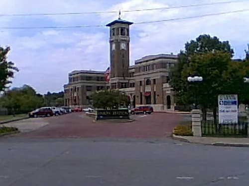
Dexter (Rail Crossing)
A major Union Pacific junction in southeast Missouri where four subdivisions converge, handling up to 50 trains daily. The restored Missouri Pacific depot offers an observation deck overlooking the action.
Memphis (CN/CSX Junction)
Kentucky Street interlocking is where four Class I railroads cross at grade in downtown Memphis — BNSF, UP, and CSX lines all cross the CN north–south main. One of the busiest flat crossings in the South, with 35+ daily freights on the CN line alone.
Little Rock Union Station
Historic 1921 Amtrak station on UP's Little Rock Subdivision in downtown Little Rock, Arkansas. Serves the daily Texas Eagle route and sees regular Union Pacific freight traffic through the state capital.
Pacific (UP/BNSF Parallel)
Where Union Pacific's Jefferson City Subdivision and BNSF's Cuba Subdivision run side by side through the Meramec River valley, offering dual Class I mainline viewing from public streets in this historic Route 66 town.
Fulton (CN Junction & Yard)
Fulton, Kentucky sits where Canadian National's Cairo and Fulton Subdivisions converge at an active freight yard with crew change and fueling facilities. Once the Illinois Central's banana re-icing hub, the town still sees 10-15 CN freights daily plus the Amtrak City of New Orleans.
Kirkwood
Historic 1893 Richardsonian Romanesque depot on Union Pacific's Jefferson City Subdivision, with ~40 UP and ~22 BNSF trains daily. Third-busiest Amtrak station in Missouri, staffed entirely by volunteers.
More Spots in Missouri
Marceline (Santa Fe Main)
Historic BNSF Transcon mainline through Walt Disney's boyhood hometown. Features the restored 1913 Santa Fe depot (now Disney museum), concrete coaling tower, and steam locomotive #2546 in Ripley Park—all within steps of 50+ daily freight trains and Amtrak's Southwest Chief.
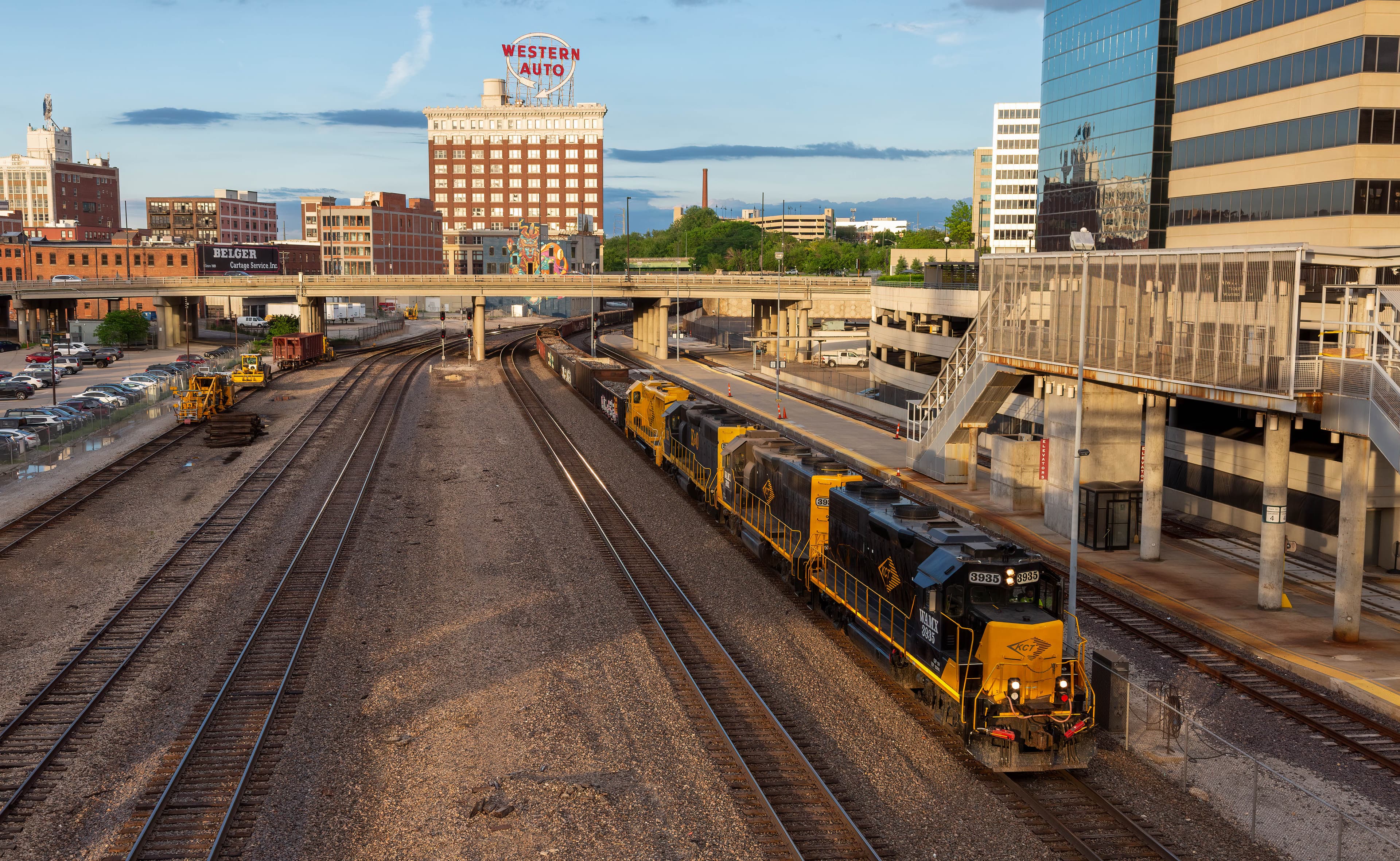
Kansas City Union Station
Historic Beaux-Arts terminal on the BNSF Transcon in America's second-largest rail hub. A pedestrian overpass behind the station offers views of 100+ daily freight trains from BNSF, UP, CPKC, and Norfolk Southern, plus six Amtrak departures.
Related Experiences
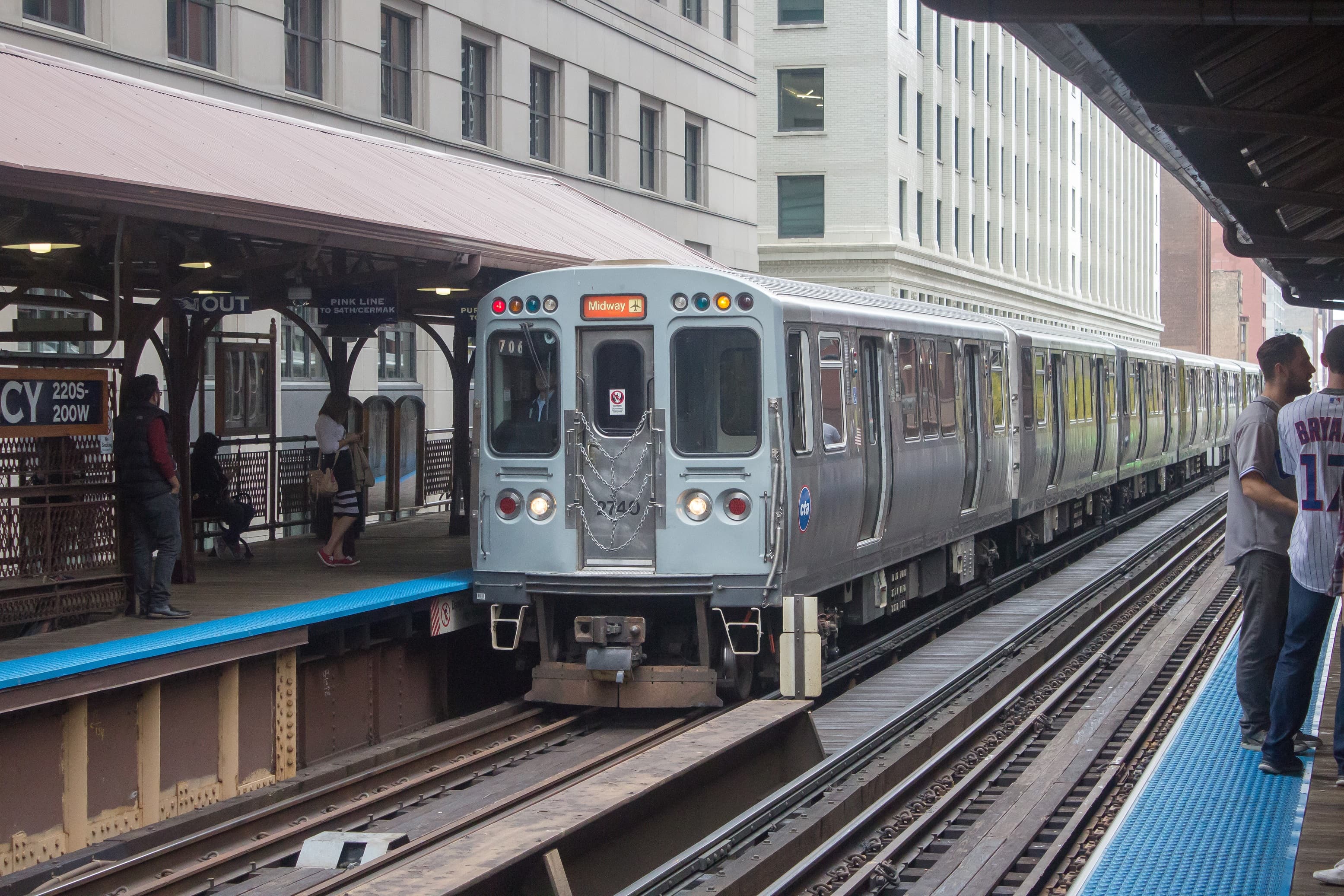
Chicago “L” (Orange Line)
An elevated Chicago “L” train line looping through downtown on viaducts, offering railfans sweeping views of the city’s skyscrapers like the Willis Tower.
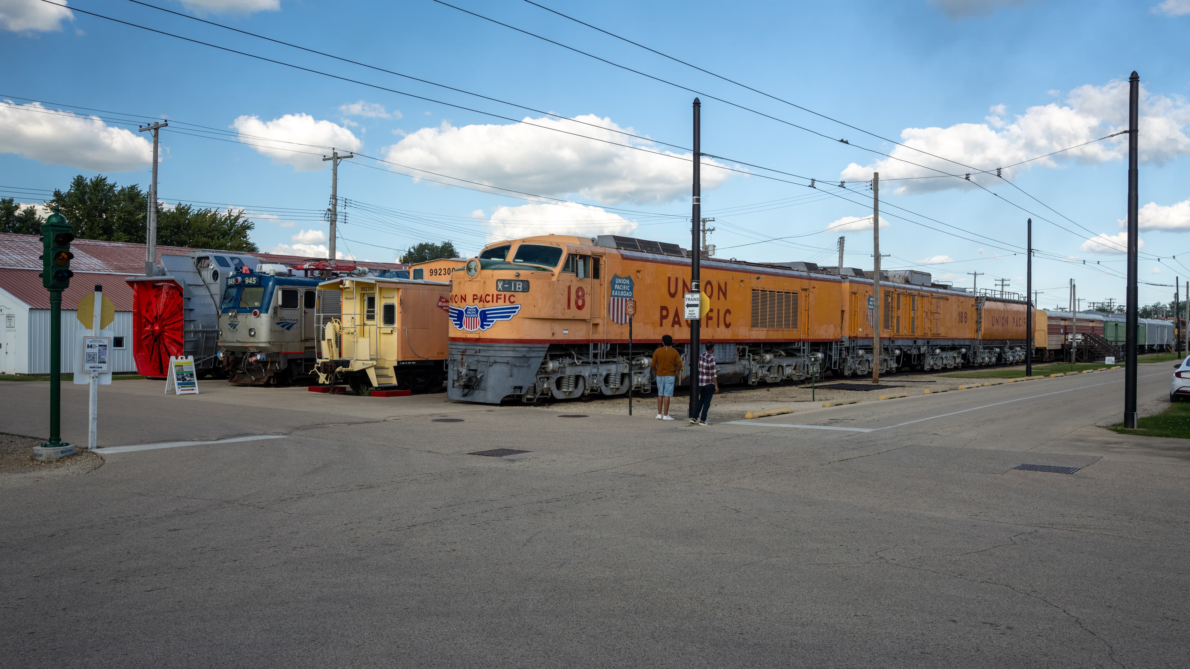
Illinois Railway Museum
The largest railroad museum in the U.S., offering vintage steam, diesel and electric train rides across a sprawling site near Chicago.
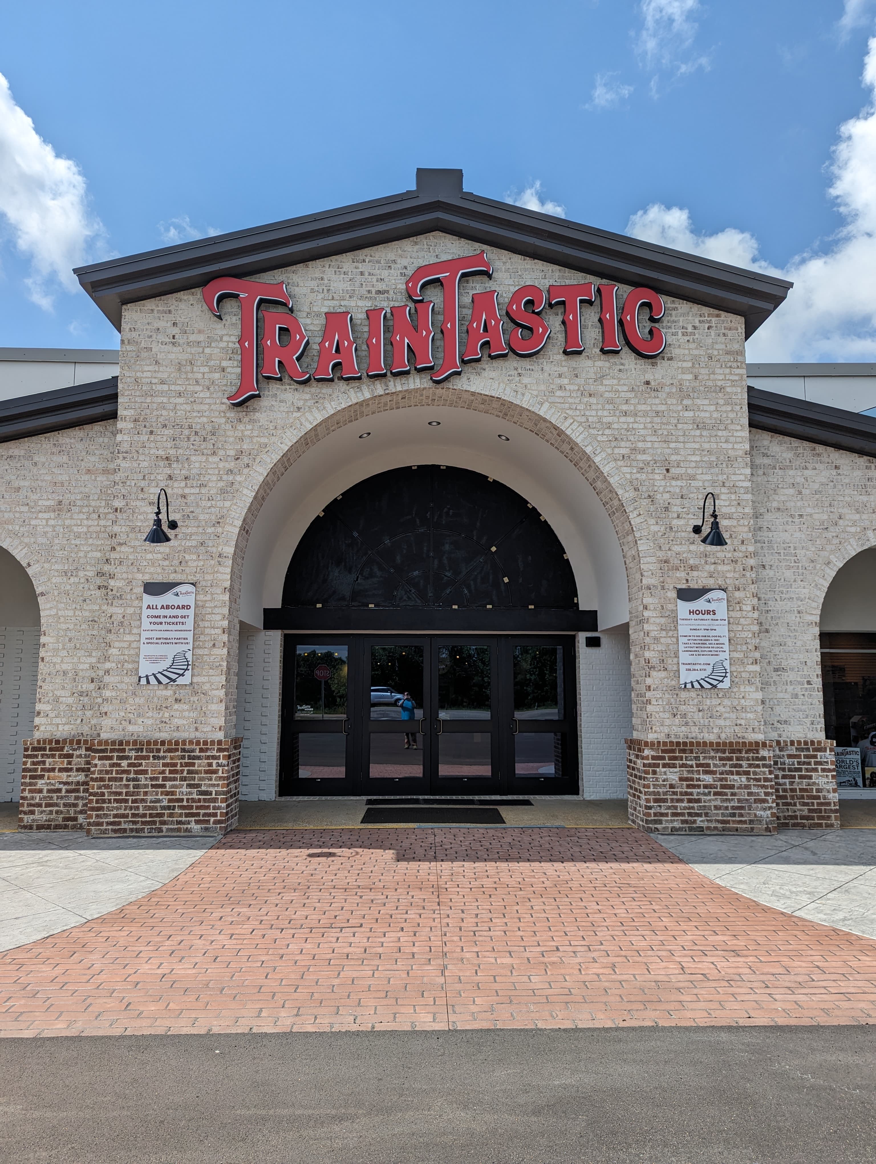
TrainTastic
World's largest model railroad museum: 50,000 sq ft of interactive layouts, ~2M LEGO bricks and ride-on trains in Gulfport, MS.
Related Journeys & Mega-Projects

California Zephyr
Chicago to San Francisco across the Rockies and Sierra Nevada

Cumbres & Toltec Scenic Railroad
America's longest and highest authentic steam railroad
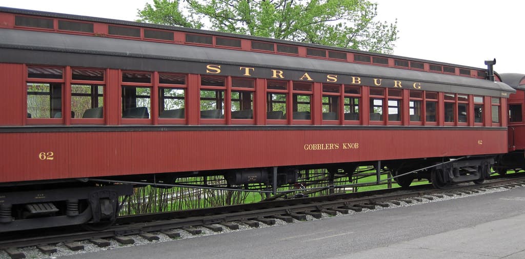
Strasburg Rail Road
America's oldest continuously operating standard-gauge railroad — a 45-minute steam ride through Amish farmland.
Help improve this page
Spotted something out of date or incorrect? Let our community know.
Looking for more spots? Browse the complete list of train spotting locations.
Quick Information
Country
USA
Region
Missouri
City
Thayer
Spot Type
Yard/Depot
Best Times
Trains run around the clock on this busy freight corridor. Daytime hours offer the best photography light, with morning sun favoring eastbound movements and afternoon light warming westbound trains.
Visit Duration
2-4 hours
Cost
Free — public road viewing
Train Activity
Train Types
Frequency
High volume corridor — coal, intermodal, and manifest freight transit daily on the Springfield-Memphis main line
Access & Amenities
Parking
Available (Free — street parking in town)