Spotting Location
Minneapolis Jct. (Nickel Plate)
A junction viewing point along the Cedar Lake Trail in Minneapolis where BNSF's Wayzata Subdivision meets the Twin Cities & Western Railroad, offering easy trail-side access to watch freight trains pass through a scenic urban corridor framed by the downtown skyline.
Updated
Photos
No photos yet — be the first to share one!
Trainspotting Experience
The Cedar Lake Trail — a paved bike and pedestrian path — runs parallel to BNSF's Wayzata Subdivision for roughly a mile through the Bryn Mawr and Kenwood neighborhoods, providing legal, public access at track level without the need to cross fences or private property. Trains on the Wayzata Sub pass at moderate speeds through a gently curving corridor that allows you to see approaching movements from a reasonable distance. The trail is wide enough to set up a tripod without blocking other users, and there are several pull-off areas along the way. A railroad scanner tuned to BNSF frequencies helps track approaching movements, since freight traffic runs on no fixed public schedule. The nearby Cedar Lake Junction, where the Twin Cities & Western Railroad joins the BNSF main, adds variety — TC&W operates about 38 trains per week through the Kenilworth Corridor, so you may catch shortline power alongside BNSF GE and EMD units. Waits between trains can stretch to an hour or more during quiet periods, so bring a folding chair and patience.
Landscape, Setting & Local Atmosphere
The rail corridor here follows a natural depression through Minneapolis's western neighborhoods, bordered by mature trees — cottonwoods, elms, and sumac — that create a surprising sense of seclusion despite the proximity to Interstate 394 just to the north. Cedar Lake sits a few hundred yards to the south, and on calm days you can hear water birds between train passes. The trail itself is well-maintained asphalt, popular with joggers and cyclists year-round. In autumn the corridor becomes a tunnel of yellow and crimson foliage framing passing trains, while winter brings opportunities for dramatic snow-dusted freight shots. The Minneapolis downtown skyline rises less than two miles to the east, providing an urban backdrop that distinguishes photos taken here from more rural locations. Bassett Creek flows beneath the tracks in this area via a concrete bridge dating to 1914, one of the older railroad structures still in active service in Minneapolis.
Type & Frequency of Train Activity
BNSF Railway owns and dispatches the Wayzata Subdivision, a 93-mile line running from Willmar to Minneapolis that historically traces back to James J. Hill's Great Northern Railway. West of Target Field station, the Wayzata Sub typically sees 4-6 BNSF freight movements per day, primarily manifest trains, grain hoppers, and ethanol tank car consists. Occasional intermodal and crude oil trains also use the line. The Twin Cities & Western Railroad (TC&W), Minnesota's largest shortline, operates approximately 38 trains per week through the Kenilworth Corridor to Cedar Lake Junction, where TC&W trains join the BNSF right-of-way to reach interchange points. TC&W traffic is predominantly grain and general merchandise originating from western Minnesota and South Dakota. Total combined train movements at this location average 10-12 per day. Note: the Northstar commuter rail service, which formerly operated on BNSF tracks through Minneapolis, was terminated in January 2026 and replaced by bus service.
Best Angles for Photos & What Railfans Enjoy Most
The Cedar Lake Trail offers several strong photography positions along its length. For shots with the Minneapolis skyline as backdrop, position yourself along the trail east of Cedar Lake Road looking northeast — afternoon sun backlights westbound trains and illuminates the downtown towers behind them. The Cedar Lake Road bridge (a 1941-era structure scheduled for replacement around 2027) provides an elevated angle looking down the corridor in both directions. Morning light favors eastbound trains from positions along the trail west of the bridge. A wide-angle lens (24-35mm) captures the full skyline context with passing trains, while a telephoto (200-300mm) compresses BNSF locomotives against the urban backdrop. The gently curving alignment means you can often photograph both the head and tail of shorter trains in a single frame. In autumn, the tree canopy along the corridor adds vivid color framing.
Historical or Cultural Relevance
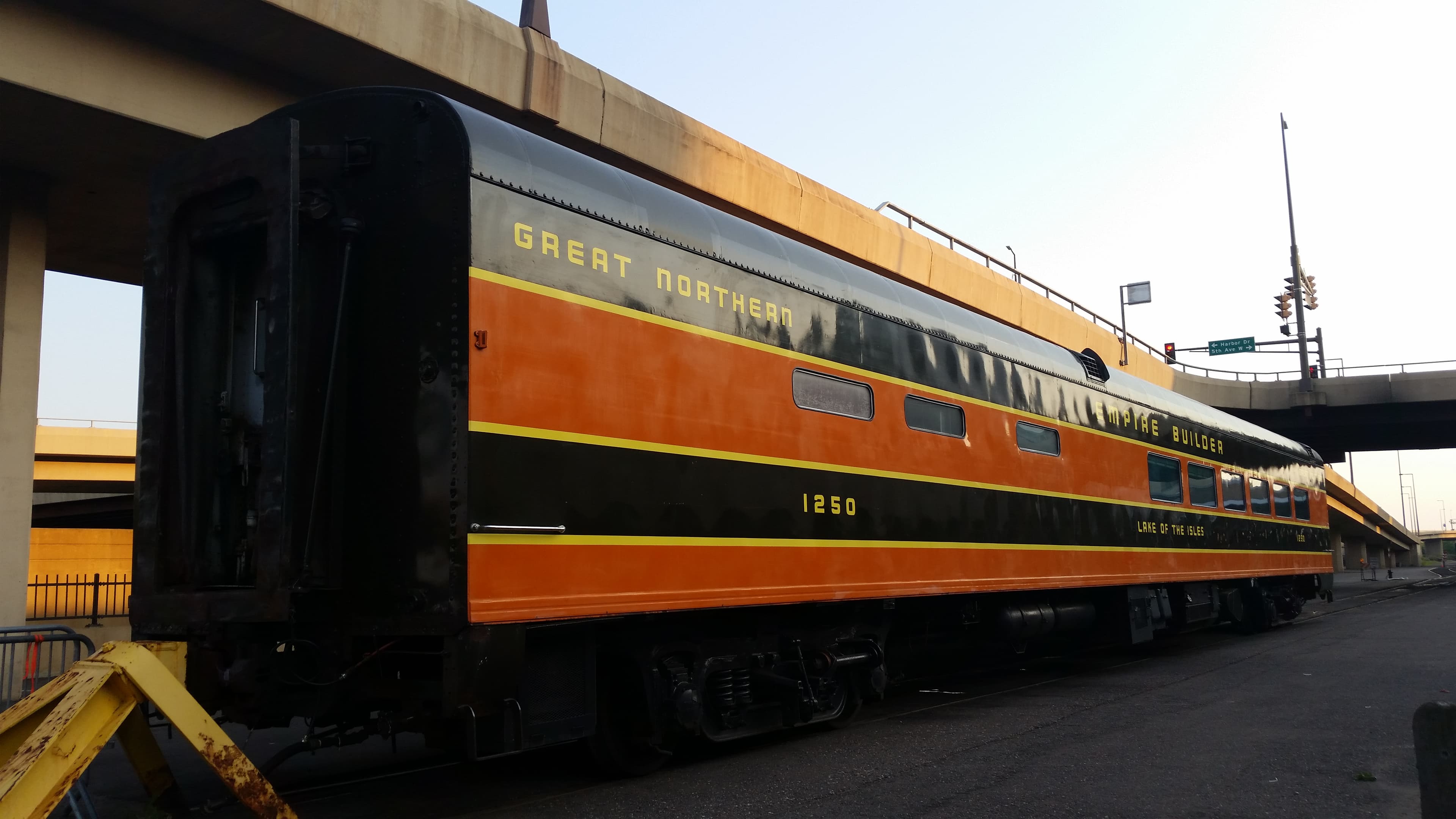
The rail corridor here dates to the pioneering days of Minnesota railroading. The Saint Paul & Pacific Railroad, chartered in the 1860s, laid the earliest tracks through this area. In 1889, James J. Hill reorganized the bankrupt SP&P into the Great Northern Railway, which built the line into a major transcontinental route connecting St. Paul to Seattle via the northern tier states. The Great Northern maintained significant rail yards at Cedar Lake, which served the nearby milling district — once the flour milling capital of the world. In 1970, Great Northern merged with Northern Pacific Railway and Chicago, Burlington & Quincy Railroad to form Burlington Northern. A further merger in 1996 with the Atchison, Topeka & Santa Fe Railway created today's BNSF Railway. In 1998, TC&W freight was rerouted from the former 29th Street (Midtown) Corridor to the Kenilworth Corridor as part of the Hiawatha project, establishing Cedar Lake Junction as the connection point to BNSF's main line. The area's railroad heritage remains visible in the form of old rail yard remnants along the Cedar Lake Trail.
What Makes This Spot Different
What makes this spot stand out among Twin Cities railfan locations is the combination of easy public access, scenic corridor, and skyline backdrop — all in one place. The Cedar Lake Trail is a designated public multi-use path, so there are no trespass concerns. The junction of TC&W and BNSF means you can see both Class I and shortline power. The downtown Minneapolis skyline, visible from many points along the trail, provides a distinctive urban context that most freight corridor spots lack. While train frequency is modest compared to high-traffic mainlines, the variety of consists — grain, ethanol, manifest, and occasional intermodal — keeps things interesting. The corridor is also part of a broader trail network (connecting to the Kenilworth Trail and the Chain of Lakes paths), so railfanning can easily be combined with a cycling or walking outing.
Frequently Asked Questions
QHow many trains pass through per day?
Approximately 10-12 trains daily: 4-6 BNSF freight movements on the Wayzata Subdivision plus about 5-6 TC&W (Twin Cities & Western) trains on the Kenilworth Corridor.
QIs there parking nearby?
Street parking is available along Cedar Lake Road and nearby residential streets in the Bryn Mawr neighborhood. Cedar Lake Park also has a small parking area off of Lake Street.
QWhat railroad frequencies should I scan?
BNSF frequencies for the Wayzata Subdivision cover this area. Check railroad-frequencies.com for current BNSF scanner frequencies in Minnesota.
QIs the Northstar commuter rail still running here?
No. Northstar commuter rail service was terminated in January 2026 and replaced by bus service. Only freight trains now use this corridor.
QCan I bike to this spot?
Yes. The Cedar Lake Trail is a paved multi-use path popular with cyclists. It connects to the Kenilworth Trail, the Chain of Lakes paths, and downtown Minneapolis.
Safety Tips
Stay on the Cedar Lake Trail at all times — do not cross fences or approach the active rail corridor. BNSF and TC&W freight trains can appear at any time without warning and move quietly at speed. Keep children and pets well back from the tracks. In winter, watch for icy patches on the paved trail.
Seasonal Information
Minnesota winters are harsh (temperatures can drop below -20°F in January), so dress accordingly with multiple insulating layers. Summer brings mosquitoes near Cedar Lake — bring repellent. The trail is plowed in winter but ice patches can occur. Fall colors peak in late September to early October, creating the most photogenic conditions along the tree-lined corridor.
Nearby Lodging
Find places to stay near Minneapolis Jct. (Nickel Plate).
This lodging map is provided by Stay22, a third-party service that may set cookies. It loads only with your consent.
Accommodation results are provided by Stay22; we may earn a commission on bookings made through this map.
Nearby Attractions
5 miles / 8 km
Non-profit organization that maintains Milwaukee Road 4-8-4 No. 261, a restored 1944 steam locomotive. Their shop at 401 Harrison St NE offers occasional open house events and excursion trips.
2 miles / 3.2 km
Built within the ruins of the Washburn A Mill, this Minnesota Historical Society museum tells the story of Minneapolis's flour milling industry and its deep connection to railroad transportation.
2.5 miles / 4 km
James J. Hill's 1883 Great Northern Railway bridge across the Mississippi River, now a pedestrian and bike path offering panoramic views of St. Anthony Falls and the downtown skyline.
7.5 miles / 12 km
Features a large O-scale layout recreating the Twin Cities area with faithful reproductions of local landmarks including the Stone Arch Bridge and Minneapolis skyline.
0.3 miles / 0.5 km
A 288-acre park adjacent to the trail offering swimming beaches, fishing, and walking paths. Part of the Minneapolis Chain of Lakes Regional Park system.
10 miles / 16 km
A working roundhouse museum in St. Paul with restored railcars, locomotives, a blacksmith shop, and caboose rides on Saturdays.
Official Resources
Related on Spotatrain
Spots Near Minneapolis
Saint Croix Junction
Saint Croix Junction marks where BNSF's St. Croix Subdivision meets joint BNSF-CPKC trackage near Hastings, Minnesota, handling 55-60 trains daily on ex-Chicago Burlington & Quincy tracks along the Mississippi River corridor.
Alma (River & Rail)
Double-track BNSF Northern Transcon mainline hugging the Mississippi River through a tiny Wisconsin river town, with a pedestrian overpass for overhead shots and Buena Vista Park 500 feet above for panoramic views.
Staples (BNSF Staples Sub)
The historic 1909 Northern Pacific depot in Staples sits on the BNSF Northern Transcon where the Brainerd Subdivision diverges, drawing 40–50 daily trains including BNSF freight and Amtrak's Empire Builder past a National Register–listed station.
Mason City (UP/CP)
Mason City sits at the intersection of Union Pacific and CPKC (ex-IC&E/Soo Line) with two active diamond crossings, a UP yard, and the Iowa Traction Railway — one of the last electric freight railroads in the United States.
La Crosse (CP Mississippi Br.)
A historic 1902 swing bridge carrying CPKC trains across the Mississippi River at La Crosse, Wisconsin. About 28 trains daily cross this 1,050-foot span, which still pivots for barge traffic roughly 3,400 times per year. Public viewing from Riverside Park puts you within yards of the action.
Tunnel City (CP Rail)
Tunnel City sits at milepost 243.8 on CPKC's Tomah Subdivision in Monroe County, Wisconsin, home to the state's only active railroad tunnel — a Milwaukee Road bore from 1874. The site also marks where Union Pacific trains enter CPKC trackage for their run west to Winona, Minnesota.
Related Experiences
Lake Superior Railroad Museum
Duluth's Historic Union Depot houses one of America's finest rail collections, from the giant DM&IR Yellowstone to the 1861 William Crooks.
Illinois Railway Museum
The largest railroad museum in the U.S., offering vintage steam, diesel and electric train rides across a sprawling site near Chicago.
Chicago “L” (Orange Line)
An elevated Chicago “L” train line looping through downtown on viaducts, offering railfans sweeping views of the city’s skyscrapers like the Willis Tower.
Related Journeys & Mega-Projects

California Zephyr
Chicago to San Francisco across the Rockies and Sierra Nevada

Cumbres & Toltec Scenic Railroad
America's longest and highest authentic steam railroad

Strasburg Rail Road
America's oldest continuously operating standard-gauge railroad — a 45-minute steam ride through Amish farmland.
Help improve this page
Spotted something out of date or incorrect? Let our community know.
Looking for more spots? Browse the complete list of train spotting locations.
Quick Information
Country
United States
Region
Minnesota
City
Minneapolis
Spot Type
Other
Best Times
Trains run throughout the day with no fixed schedule. BNSF and TC&W freight can appear at any hour. Afternoon offers the best lighting for westbound shots with the downtown skyline in the background.
Visit Duration
1-3 hours
Cost
Free — public trail access
Train Activity
Train Types
Frequency
Approximately 10-12 trains per day: 4-6 BNSF freight movements plus 5-6 TC&W (Twin Cities & Western) trains on the Kenilworth Corridor
Access & Amenities
Parking
Available (Free street parking on Cedar Lake Road and nearby residential streets)
Shelter
Not available
Restrooms
Not available