



Updated
Distance
4.8 km
Duration
3h round trip (incl. 1h summit layover)
Max altitude
1,917 m
Bridges
2
Gauge
1422mm (4 ft 8 in)
The world's first mountain-climbing cog railway, built 1866-1869 by Sylvester Marsh. Climbs Mount Washington's western flank from 2,700 ft to the 6,288 ft summit at grades up to 37%.
Watch this route live
2 railway webcams cover this route — see what is running right now.
- Watch live
Mount Washington, New Hampshire — Base Station
Trains departing the Cog Railway's Base Station for the summit
- Watch live
Mount Washington, New Hampshire — Cog Railway Track
Looking up the Cog Railway's rack track toward the summit
About This Journey
Built between 1866 and 1869 by New Hampshire inventor Sylvester Marsh, the Mount Washington Cog Railway is the world's first mountain-climbing cog (rack-and-pinion) railway. It climbs the western flank of 6,288-foot (1,917 m) Mount Washington — the highest peak in the northeastern United States — using a Marsh-designed ladder rack with open bar rungs that lets snow and debris fall through. The line is 4.8 km (3 miles) long, has an average grade above 25%, and reaches a maximum of 37.41% on Jacob's Ladder, the steepest railroad trestle anywhere in the world.
The ascent crosses three distinct climate zones — northern hardwood forest at Marshfield (820 m / 2,700 ft), boreal spruce-fir between Cold Springs Hill and Halfway House, then alpine tundra above tree line at roughly 1,500 m — terrain comparable to far northern Canada. Hurricane-force winds occur on the summit on an average of 110 days per year, and the Mount Washington Observatory operates a 24/7/365 weather station in the Sherman Adams Visitor Center at the top.
Trains depart from Marshfield Base Station on a strict hourly schedule using one of seven hand-built biodiesel-hydraulic locomotives (M-1 Wajo Nanatassis through M-7 Kenison, all designed and assembled in the railroad's own shops between 2008 and 2019), or, twice daily in season, one of two operational slant-boiler coal-fired steam engines — #2 Ammonoosuc (1875) or #9 Waumbek (1908). The round trip takes three hours including a one-hour layover at the summit, where passengers explore the Tip Top House (1853 stone hostelry, now a museum), the Sherman Adams Visitor Center, and the summit observation deck overlooking five states, the Atlantic Ocean, and southern Quebec on clear days.
The Cog has been in continuous operation since 1869, with service interruptions only during the two World Wars. It is jointly designated a National Historic Mechanical Engineering Landmark (ASME, 1976) and a Historic Civil Engineering Landmark (ASCE, 2007). More than five million passengers have ridden to the summit during its 156-year history.
Why This Journey Is Iconic
The Cog is iconic on three counts. First, it is the original — every cog railway in the world, from Switzerland's Vitznau-Rigi (opened 1871) to Colorado's Pikes Peak (1891) and Wales' Snowdon Mountain Railway (1896), traces its commercial lineage to Marsh's 1869 line on Mount Washington. The Swiss Consul to the United States visited the construction site, and his enthusiastic reports persuaded the Swiss government to commission Niklaus Riggenbach to build the Vitznau-Rigi-Bahn just two years later.
Second, the engineering is uncompromising. The 300-foot-long Jacob's Ladder trestle holds the record as the steepest railroad trestle on earth at 37.41% grade — a 37-foot vertical rise over every 100 feet of horizontal track. Marsh's open-bar ladder rack design, still in use 156 years later, was upgraded in 2021 with 100-lb/yd rail (up from the original 25-lb/yd), the largest infrastructure investment in the railway's history.
Third, the destination is unlike any other rail journey in North America. Mount Washington holds the long-standing claim of having the "World's Worst Weather" — a 372 km/h (231 mph) wind speed was recorded at the summit in April 1934, a Northern Hemisphere surface record that stood for 76 years. Riding the Cog through three climate zones to a subarctic summit, in 45 minutes, on a route Sylvester Marsh's contemporaries called "the Railway to the Moon," remains one of the great rail experiences anywhere.
What to Expect
Passengers board hand-built wooden coaches — each holding 70 riders — at Marshfield Base Station 15 minutes before departure. Seating is assigned, and a brakeman or brakewoman narrates the trip from the leading platform of the passenger car, describing the railway's mechanics, the geology of the Presidential Range, and Mount Washington's legendary weather. There are no restrooms on the train; facilities are at Marshfield, Waumbek Station, and the summit Sherman Adams Visitor Center.
The ride is loud, smoky on steam runs, and remarkably steep — at 37.41% grade on Jacob's Ladder, passengers in the rear of the coach are seated noticeably higher than those in front. Steam runs include coal soot and cinders falling on clothing (the operator advises dressing for it). On biodiesel runs, the ascent takes 45 minutes; steam takes about 65 minutes (with one water stop at the Waumbek Tank) and the descent 40 minutes — both far slower than gravity-fed funiculars or modern rack railways.
At the summit, the one-hour layover gives time for the rooftop observation deck, the Tip Top House museum, the interactive Extreme Mount Washington weather exhibit, the cafeteria, and the post office (where you can mail a postcard with the unique Mount Washington postmark). Conditions at 1,917 m are routinely 20–25°C colder than at the base, with wind gusts often above 80 km/h even in summer. The operator does not refund for inclement weather; in severe conditions trains terminate at Skyline (≈1,700 m) or Waumbek Station (≈1,158 m).
History
New Hampshire businessman Sylvester Marsh conceived the railway in 1852 after nearly dying during a storm-bound climb of Mount Washington with friend John Lyon. The New Hampshire General Court granted him a charter on June 25, 1858, but the American Civil War delayed construction until May 1866. Local legend says one legislator joked the charter should run "not merely up Mount Washington, but also to the moon" — hence the nickname "Railway to the Moon."
The first paying passengers rode a partial line on August 14, 1868. The track reached the summit on July 3, 1869. President Ulysses S. Grant rode to the top on August 27, 1869, just weeks after completion. P.T. Barnum famously declared the view "the second-greatest show on earth" — high praise from the man whose circus held the first spot.
Ownership passed through the Concord & Montreal Railroad (1884), the Boston & Maine Railroad (1889), hotel executive Henry N. Teague (1931), then Dartmouth College, before Arthur S. Teague bought the line back in 1962. From 1986 to 2017 the railway was owned by Wayne Presby and Joel Bedor of Littleton, NH; since 2017 Wayne Presby has sole control. The first biodiesel-hydraulic locomotive, M-1 Wajo Nanatassis, entered service in 2008; by 2019 the diesel fleet had grown to seven. In 2021 the entire 4.8 km of track was relaid with 100-lb/yd rail and a 34,000 sq ft maintenance facility was completed — together the largest capital project in the line's history. The Cog has carried over five million passengers to the summit and has had only two fatal incidents (1929 and 1967) in 156 years.
Engineering Highlights
Marsh's patented rack system — a ladder of open bar rungs engaged by a cog wheel — was a deliberate departure from earlier flange-and-pin proposals. Open rungs let snow and ice fall through the rack rather than jamming it, a feature critical on a mountain that gets 250+ inches of annual precipitation. The Riggenbach rack later used on Swiss mountain railways borrowed directly from this concept after Niklaus Riggenbach visited Marsh's construction site.
The single most photographed structure is Jacob's Ladder, a 300-foot trestle curving left at 37.41% grade — 25 feet above the ground at its highest point. The track is built to 4 ft 8 in (1,422 mm) gauge, technically narrow gauge as it is ½ inch (13 mm) narrower than standard. Original locomotives such as #1 Old Peppersass (1866) used vertical boilers mounted on twin trunnions so gravity kept the boiler upright on grade; from 1875 onward, the railway adopted slanted horizontal boilers (visible on #2 Ammonoosuc and #9 Waumbek), which kept the water level over the firebox crown sheet without trunnion mounting.
The line has no tunnels — the entire 4.8 km route is open trestle and graded fill — and two principal bridges: the steel girder bridge across the Ammonoosuc River just above Marshfield, and the Jacob's Ladder trestle. Passing loops were added in 1941 (with a nine-motion switch) and at the upper Waumbek (1,800 ft passing loop, solar-powered hydraulic switches) in 2004, enabling up to seven trains to operate on the mountain simultaneously. The 2021 rail upgrade from 25-lb/yd to 100-lb/yd track quadrupled the rail's weight per yard, accommodating heavier biodiesel locomotives and reducing maintenance cycles.
Best Time to Travel
The summit operating season runs from May 2 to October 25 in 2026, with peak demand on summer weekends and during fall foliage (late September through mid-October). Steam trains run twice daily during the warmer months and add extra departures during foliage season — but during fall, steam runs only as far as Waumbek Station (4,000 ft / 1,158 m) due to scheduling constraints.
July and August offer the warmest summit temperatures (highs around 10–15°C / 50–60°F) and the longest layovers in clear air, but also the largest crowds. Late September through early October delivers spectacular foliage on the lower portion of the climb plus typically clearer summit air than mid-summer. Pre-season (early May) and post-season (late October) summit trips are unique opportunities — the State Park facilities are closed and the layover drops to 30–40 minutes, but you witness a near-winter alpine environment with very few other visitors.
In winter (late October 2026 through early May 2027) the train runs only to Waumbek Station at ~1,158 m, a 1-hour round trip including a 25-minute layover. Waumbek has elevated observation decks, warming huts, a fire pit and complimentary hot drinks. Note that Mount Washington holds the long-standing claim of the World's Worst Weather — hurricane-force gusts occur on the summit on average 110 days per year, including in mid-summer.
Practical Tips
Book the steam train well in advance — steam departures sell out months ahead during summer and fall. Reservations for biodiesel runs are not strictly required but strongly recommended. Tickets are sold online up to the departure time of any train via the showare booking engine (thecog.showare.com), or in person at the Marshfield ticket office. Arrive at least 45 minutes before departure (boarding begins 15 minutes prior); trains leave on schedule and missed-train fees are $20 ($30 on Saturdays, holidays, and during foliage season).
Dress in layers, including a waterproof shell, hat and gloves, and sturdy hiking shoes — the summit is routinely 20–25°C colder than the base. Umbrellas are discouraged due to high winds. Coal-fired steam runs deposit soot and cinders on clothing; wear something you don't mind getting dirty. Strollers, car seats, and coolers are not allowed on board; carry-on items must fit on your lap. There are no restrooms on the train.
GPS navigation often misdirects drivers to Pinkham Notch on the east side of the mountain — 80 km away by road. Always use the Bretton Woods approach: US-302 to Base Station Road, then 9.7 km (6 miles) to Marshfield. Hikers should NOT count on one-way down tickets from the summit; the operator no longer honors round-trip tickets used for one-way down travel, and seats on descending trains are sold only in person at the summit post office if space remains. Bring sufficient food and water for a 10–12 hour hike if you plan to climb up.
Traveling with Pets
Service animals only
"For the safety and comfort of our guests, staff and our train crews, pets or emotional support animals (ESA's) are not permitted on our passenger coaches. Emotional support animals are not included or protected under ADA." Individually trained ADA service dogs are welcome, though the railway warns that altitude, the shifting motion and sudden loud noises may affect an animal. Note a separate rule at the top: Mount Washington State Park allows leashed pets outdoors but not in the visitor centre's dining and concession areas — so a dog can legally be at the summit, just not arrive by Cog train.
Verified — operator's pet policy
Route Stages
- km 0820 m alt.45 min check-in
Departure point on Base Station Road, 9.7 km (6 miles) off US-302 near Bretton Woods. Highest year-round full-service facility on Mount Washington. Home to the free Cog Railway Museum, the gift shop, the food court, and a deck overlooking the line. Vintage equipment on display includes #1 Old Peppersass (1866) — the original locomotive — and a one-of-a-kind retired jet-engine snowblower mounted on rail trucks.
Old Peppersass locomotive on display; Cog Railway Museum; departure platforms A–D
- km 0.3830 m alt.
Steel girder bridge crossing the Ammonoosuc River immediately above Marshfield. As the train clears the bridge, the engineer brings the locomotive up to its maximum speed of about 8 km/h (5 mph) and the climb begins in earnest.
Acceleration to climbing speed; transition from level to graded track
- km 0.8950 m alt.
Second-steepest section of the railway at nearly 35% grade. Dense northern hardwood forest brackets the right-of-way as the train climbs out of the river valley. Track workers historically used this stretch to test the locomotives'' braking systems.
35% grade; second-steepest section of the line
- km 1.41,100 m alt.5 min (steam only)
1,800-foot (550 m) passing loop installed in 2004 with solar-powered, hydraulically operated automated switches at each end, allowing up to seven trains to operate on the mountain at once. Steam locomotives stop briefly here at the Waumbek Tank to top off their water level — a 65-minute steam ascent burns 1 short ton of coal and 3,800 L of water.
Solar-powered switches; steam water stop
- km 1.61,158 m alt.25 min (winter only)
Winter terminus and weather backup destination at approximately 4,000 ft (1,158 m). Reopened and expanded for year-round use after 2020, with elevated observation decks, warming huts, a fire pit, and complimentary hot drinks. When the State Park summit facilities are closed (late October to mid-May), all trains terminate here on a 1-hour round trip with a 25-minute layover.
Winter operations terminus; observation deck above tree line
- km 2.21,310 m alt.
A small workers'' shelter at 4,300 ft (1,310 m) on the right of the line. Although the building itself is perfectly level, the train passing beside it is climbing at such a steep angle that the reflection of the coach in the building''s window dramatically shows the grade. Marks the transition from boreal forest into krummholz (stunted, wind-shaped conifers).
Optical illusion showing the line''s true grade
- km 2.51,390 m alt.
A natural rock formation just before Jacob''s Ladder that resembles the iconic Old Man of the Mountain — the granite profile that was the state symbol of New Hampshire until it collapsed in 2003. The Cog crew has installed a white painted backdrop behind the rock so passengers can see the profile more clearly.
Replacement icon for the lost Old Man of the Mountain (2003)
- km 2.71,440 m alt.
300-foot (91 m) curving wooden trestle climbing at 37.41% grade — a 37-foot rise for every 100 feet of forward travel — the steepest railroad trestle anywhere in the world. The deck reaches nearly 25 feet (7.6 m) above the mountainside, with Burt''s Ravine on the left and Ammonoosuc Ravine on the right. The single most photographed structure on the railway.
Steepest railroad trestle in the world (37.41% grade)
- km 2.91,520 m alt.
A brightly painted boulder just above Jacob''s Ladder used by train crews as a position marker in bad weather. From here onward, the line is at tree line (~1,500 m / 5,000 ft) and the train begins traversing the side of the summit cone. The Gulfside Trail (part of the Appalachian Trail) runs parallel to the tracks on the left.
Above tree line; AT runs parallel on the left
- km 3.71,700 m alt.10 min (weather alternate only)
Open alpine area at approximately 5,500 ft (1,700 m), used as a weather alternate destination when the summit cannot be safely reached. From here passengers see the Northern Presidentials — Mount Clay, Mount Jefferson, Mount Adams, Mount Madison — and the mountains of western Maine. When trains terminate here, layover is approximately 10 minutes on the front platform.
Weather alternate; views of the Northern Presidentials
- km 4.81,917 m alt.1h layover (30–40 min off-season)
Final stop at 6,288 ft (1,917 m), the highest peak in the northeastern United States. One-hour layover (30–40 minutes pre- and post-season). Access to the Sherman Adams Visitor Center with its rooftop observation deck, the 1853 Tip Top House museum, the interactive Extreme Mount Washington weather exhibit, the cafeteria, two gift shops, and the summit post office (unique Mount Washington postmark). The Mount Washington Observatory operates a 24/7/365 weather station here, holding the long-standing claim of recording the World''s Worst Weather.
Highest peak in NE United States; Mount Washington Observatory; Tip Top House (1853)
Getting to Marshfield Base Station
By Air
The closest commercial airport is Portland International Jetport (PWM) in Maine, about 145 km (90 miles / 2 hours) east via US-302. Manchester-Boston Regional Airport (MHT) in southern New Hampshire is about 240 km (150 miles / 2.5 hours) south via I-93 then I-93 north through Franconia Notch. For international visitors, Boston Logan (BOS) is approximately 265 km (165 miles / 3 hours) south, and Montreal-Trudeau (YUL) is about 280 km (175 miles / 3 hours) north via I-91 and I-93. There is no shuttle service to Marshfield Base Station from any airport — a rental car or private transfer is required.
By Train
There is no scheduled passenger rail service to Bretton Woods or the Mount Washington area. The closest Amtrak service is the Vermonter (which serves St. Albans, Vermont, ~2.5 hours by road) and the Downeaster (serving Brunswick, Maine, ~3 hours away). For visitors arriving by Amtrak, a rental car from one of those stations is the only practical route. Seasonal North Conway Scenic Railroad services (May–October) operate in the Mount Washington Valley but do not connect with Marshfield Base Station.
By Car
From Boston (165 mi / 265 km, ~3 hours): I-93 north through Franconia Notch Parkway to Exit 35, US-3 north to Twin Mountain, then US-302 east to Bretton Woods; turn left at Fabyan's Station Restaurant onto Base Station Road, then 9.7 km (6 miles) to Marshfield. From Portland, ME (90 mi / 145 km, ~2 hours): US-302 west to Bretton Woods, past the Omni Mount Washington Resort, then right at Fabyan's onto Base Station Road. From Montreal (175 mi / 280 km, ~3 hours): I-91 south through Vermont to Exit 17 (I-93 south), Exit 40 onto US-302 east to Bretton Woods. GPS routing is unreliable in the area — apps frequently misdirect to Pinkham Notch on the east side of the mountain, 80 km away. Always reference the operator's directions page and look for the retired steam locomotive that marks the Base Station Road turnoff.
Parking
Free unpaved parking is available at Marshfield Base Station, accommodating several hundred vehicles. The lot is open year-round, plowed in winter, and adjacent to the ticket office, museum, and food court. RV parking is permitted but spaces are not specifically marked. Overflow lots open during peak foliage weekends.
Where to Stay
Find places to stay near Mount Washington Summit.
This lodging map is provided by Stay22, a third-party service that may set cookies. It loads only with your consent.
Accommodation results are provided by Stay22; we may earn a commission on bookings made through this map.
Videos
Photos
Mount Washington - 48320118896
Mount Washington Cog Railway Steam
New Hampshire-00812 - Time to Leave
Mount Washington Cog Railway - New Hampshire (cell phone)
New Hampshire-00731 - Waumbrek
Mount Washington Cog Railway - New Hampshire
New Hampshire-00767 - Carriage
New Hampshire-00839 - Lots of Rocks
Mount Washington Cog Railway - New Hampshire
New Hampshire-00698 - The Journey Begins
New Hampshire_0241 - Jacob's Ladder
Mount Washington Cog Railway
External Resources
Official resources
Tourism info
Heritage & history
Frequently Asked Questions
How long is the round trip to the summit?▾
Does the Cog Railway run year-round?▾
Are tickets refundable if the weather is bad?▾
How steep does the railway actually get?▾
Steam or biodiesel — which should I pick?▾
Can I hike up and ride the train down?▾
How do I get to Marshfield Base Station?▾
When is the best time to visit?▾
Help improve this page
Spotted something out of date or incorrect? Let our community know.
Related on Spotatrain
Journeys Near This Route
More Journeys Worldwide
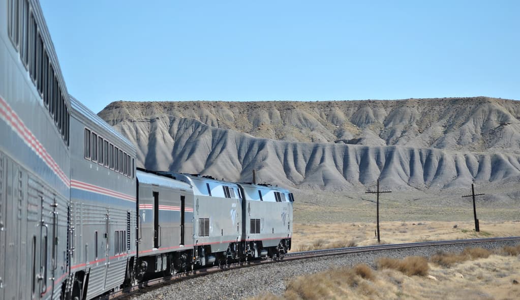

California Zephyr
Chicago to San Francisco across the Rockies and Sierra Nevada
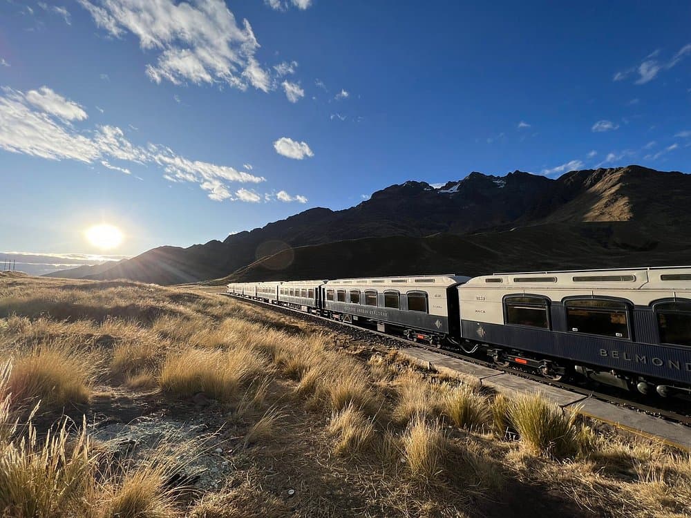
Belmond Andean Explorer
South America's first luxury sleeper train, across the roof of Peru
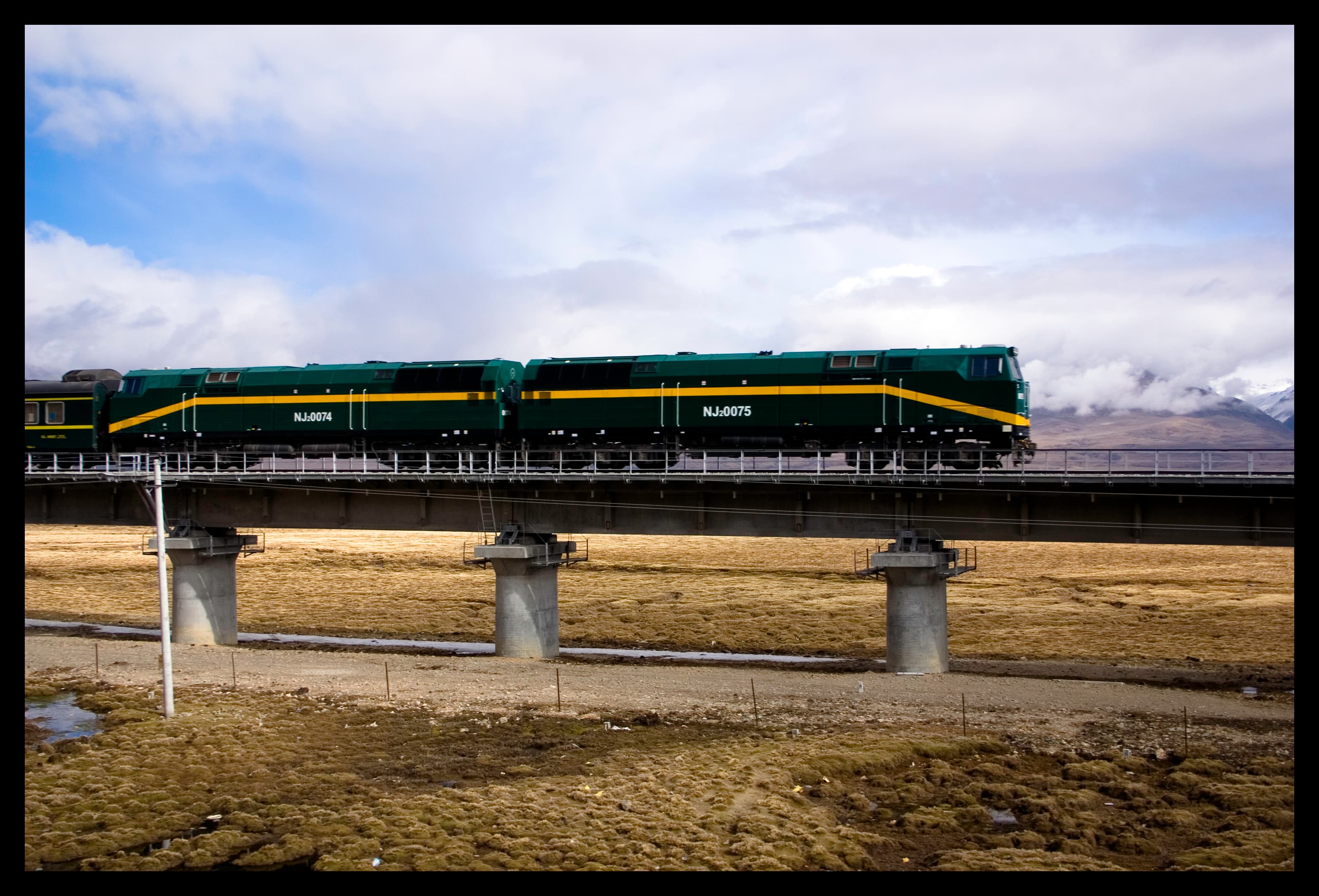
Qinghai-Tibet Railway
The world's highest railway, across the roof of the world to Lhasa

TranzAlpine
Coast to coast across the Southern Alps in a single morning

Tren a las Nubes
Argentina's rack-free climb to 4,220 m above the Puna
Denali Star
Alaska Railroad's flagship run to Denali and Fairbanks
Explore around this route
2 places on Spotatrain within 25 km of this route — 2 live cams.