Spotting Location
Crozier Canyon (BNSF)
A dramatic granite gorge on BNSF's Southern Transcon at milepost 480, about 33 miles east of Kingman, Arizona. The canyon funnels 60-70 daily freight and intermodal trains through an 8-degree curve with a 1.5% grade, offering enclosed canyon photography with heavy traffic on a historic Route 66 corridor.
Updated
Photos
No photos yet — be the first to share one!
Trainspotting Experience
Crozier Canyon sits at approximately milepost 480 on BNSF's Seligman Subdivision, part of the Southern Transcon linking Los Angeles and Chicago. The canyon is roughly 33 miles east of Kingman, Arizona, near the tiny community of Valentine. Access is via a primitive dirt road from the west end of the canyon — approach from the east is not possible as those roads have been gated off. From the canyon floor and surrounding mesa tops, you can watch trains navigate an 8-degree curve on a 1.5% descending grade, one of the tighter curves on the Transcon through Arizona.
The canyon sees 60-70 train movements per 24-hour period, averaging roughly 3 trains per hour around the clock. Intermodal double-stacks dominate the traffic mix, along with manifest freight, unit grain trains, ethanol trains, and occasional military consists. BNSF typically runs distributed power on the longer trains through this territory. The Amtrak Southwest Chief (trains #3 and #4) passes through daily, though both run through the Kingman area late at night — westbound #3 around 11:46 PM and eastbound #4 around 2:03 AM — so passenger train photography here requires dedication or luck with delays.
Cell coverage is unreliable in the canyon. Many railfans bring scanners to monitor BNSF radio traffic for advance notice of approaching trains. The canyon's enclosed shape means you can hear locomotives approaching from several minutes out, which helps compensate for the limited sight lines around the curve. Be prepared for a remote experience: the nearest fuel and food are back in Seligman to the east or Kingman to the west.
Landscape, Setting & Local Atmosphere
Crozier Canyon is a granite gorge where the broad valley of the Yampai River narrows into Truxton Wash, cutting through the western edge of the Hualapai Plateau at roughly 4,200 feet elevation. The canyon walls rise steeply on either side, dotted with juniper, prickly pear, and clusters of tall trees that thrive in the protected microclimate of the canyon floor — a striking contrast to the dry, barren desert of cacti and scrub grass on the plateau above.
The seasonal Crozier Wash runs through the canyon floor, normally dry but capable of becoming a rushing torrent after monsoon storms. This flooding potential shaped the railroad's history here: a major 1904 flood forced the tracks to be relocated to slightly higher ground within the canyon. The original Route 66 dirt road also ran through the canyon, crossing under the railroad via a side drainage, until deep grade cuts in 1936-37 straightened the highway alignment to avoid flood damage.
Light conditions vary dramatically by season. Clear blue mornings from autumn through spring provide crisp, contrasty light ideal for photography. Summer brings intense heat and high UV, with late-day thunderheads forming during the July-September monsoon season. Winter mornings can dip below freezing, but snow is rare. Between trains, the canyon is remarkably quiet — wind through the mesquite and distant coyotes are the dominant sounds, reinforcing the sense of remote desert wilderness.
Type & Frequency of Train Activity
BNSF's Seligman Subdivision is a core segment of the Southern Transcon, the railroad's primary intermodal corridor connecting the ports of Los Angeles and Long Beach with Chicago and the Midwest. The subdivision stretches between Needles, California, and Winslow, Arizona, with crew changes at both endpoints. The entire route is now double-tracked, a project that began under the Santa Fe Railway and was essentially completed by BNSF over several decades.
Traffic through Crozier Canyon runs 60-70 trains per day, with intermodal double-stacks making up the majority. These trains carry containers and trailers moving between West Coast ports and inland distribution centers. Mixed manifest freights haul a variety of commodities, while unit trains of grain, potash, and ethanol add variety to the consist mix. Auto-rack trains carrying vehicles from assembly plants to dealers are also regular sightings.
The Amtrak Southwest Chief provides the only scheduled passenger service, running one train in each direction daily. However, both trains pass through the Valentine/Crozier Canyon area in the middle of the night — westbound train #3 passes Kingman (33 miles west) at approximately 11:46 PM, and eastbound train #4 at approximately 2:03 AM. Photographers seeking the Southwest Chief in daylight here will need to count on schedule delays, which are not uncommon on this route.
Best Angles for Photos & What Railfans Enjoy Most
The best approach to Crozier Canyon for photography is from the west, via a primitive dirt road. All roads from the east end have been gated, so plan your access accordingly. The canyon rewards photographers who are willing to hike and climb: from the canyon floor you get close-up, near-level shots of trains rounding the 8-degree curve, while climbing the mesas on the south side provides dramatic top-down perspectives of entire consists snaking through the canyon.
Seasonal timing matters significantly here. Late October through early November is widely considered the best window: the sun sits lower in the southern sky, allowing you to climb the towering mesas and shoot down into the canyon with favorable lighting. In warmer months, photographs from the north side of the canyon work when the sun sets north of due west. Morning light from the southeast illuminates westbound trains and the canyon's rock face simultaneously, while late afternoon provides front-lit conditions for eastbound movements.
Long lenses (200-400mm) isolate locomotives against the textured canyon walls, emphasizing the contrast between BNSF orange paint and the canyon's rock. Wide-angle lenses (24-35mm) capture the full scope of long trains curving through the gorge. Note that tall trees on the inside of the 8-degree curve can partially obstruct views from certain angles — scout your position before committing to a setup. Dust kicked up by canyon winds can add dramatic backlit haze but also threatens lens optics, so bring cleaning cloths and consider UV filters.
Historical or Cultural Relevance
The railroad grade through Crozier Canyon dates to 1882-1883, when the Atlantic & Pacific Railroad (A&P) carved its transcontinental route westward through northern Arizona. The A&P reached the Kingman area by March 1883 and crossed the Colorado River at Topock on August 3, 1883, completing the Arizona segment. The canyon's tight alignment and confined right-of-way required significant excavation work compared to the adjacent high desert plains. The line was double-tracked through the canyon in 1922-1923 and remains in continuous heavy use today as BNSF's Southern Transcon.
Route 66 history is deeply intertwined with the canyon. The National Old Trails Highway, which became Route 66 in 1926, originally followed a dirt road through Crozier Canyon that crossed under the railroad tracks via a side drainage beneath a bridge. After flooding problems, deep grade cuts in 1936-37 straightened the highway to avoid the worst flood-prone sections. The last segment of Route 66 to be paved in Arizona was at the mouth of Crozier Canyon, completed in 1937. A 1930s-era resort — the 7-V Ranch Resort — once stood along Route 66 in the canyon, with red-roofed cabins that reportedly remain partially visible today.
The nearby Truxton Canyon Training School in Valentine, built in 1903 with bricks manufactured on-site by Hualapai students, served as a boarding school for children of several Native American tribes including Apache, Havasupai, Hopi, Mojave, Navajo, and Papago. Expanded in 1924, 1927, and 1929, it closed in 1937 and was listed on the National Register of Historic Places in 2003. Valentine itself was named after a railroad agent, reflecting the railway's central role in sustaining these remote communities.
What Makes This Spot Different
Crozier Canyon delivers an experience distinct from the wide-open desert railfanning that characterizes most of the BNSF Transcon across Arizona. Where spots like Seligman or Ash Fork offer vast panoramic views, Crozier Canyon provides an enclosed, intimate setting where trains feel larger and closer. The granite walls create a natural amphitheater that amplifies locomotive sounds — turbo whine, dynamic braking, and flange squeal on the 8-degree curve all resonate through the canyon in a way that open plains simply cannot replicate.
The layered history adds depth to the railfanning experience. You are watching modern intermodal trains roll through on essentially the same alignment that the Atlantic & Pacific Railroad blasted out in 1882-1883, alongside the remnants of Route 66's original path through the canyon. The 7-V Ranch Resort ruins and the nearby Truxton Canyon Training School connect the railroad to the broader story of settlement and travel across the American Southwest.
The canyon's remoteness is both a challenge and an asset. There are no crowds, no parking lots, no interpretive signs — just you, the trains, and the desert. This isolation, combined with heavy 60-70 daily train traffic on a world-class freight corridor, makes Crozier Canyon one of the more rewarding but least accessible railfan locations on the Southern Transcon.
Frequently Asked Questions
QHow do I access Crozier Canyon for trainspotting?
Access is via a primitive dirt road from the west end of the canyon, near Valentine on old Route 66. All roads from the east end have been gated off. A high-clearance vehicle is recommended. From the road, reaching the best photography positions requires hiking and potentially some scrambling up the mesa sides.
QHow many trains per day pass through Crozier Canyon?
The BNSF Seligman Subdivision through Crozier Canyon sees 60-70 trains per day, averaging about 3 trains per hour around the clock. Traffic is predominantly intermodal double-stacks, with manifest freight, unit trains, and the daily Amtrak Southwest Chief.
QCan I see the Amtrak Southwest Chief at Crozier Canyon?
The Southwest Chief passes through daily, but both trains run through this area late at night — westbound #3 around 11:46 PM and eastbound #4 around 2:03 AM at nearby Kingman. Daytime sightings depend on schedule delays.
QWhat is the best time of year to photograph trains at Crozier Canyon?
Late October through early November offers the best combination of comfortable temperatures, low sun angles for dramatic canyon lighting, and clear skies. Summer is extremely hot and winter mornings can be below freezing.
QIs there cell phone service at Crozier Canyon?
Cell coverage is unreliable in the canyon. Many railfans bring radio scanners to monitor BNSF frequencies for advance notice of approaching trains. The canyon acoustics also help — you can hear trains approaching from several minutes away.
Safety Tips
The canyon is remote with no services — carry plenty of water, food, and fuel. Cell coverage is unreliable, so inform someone of your plans before visiting. The dirt access road can become impassable after rain due to flash flooding in Crozier Wash. Stay well clear of the tracks — the 8-degree curve and tall trees limit visibility for both you and train crews. A 2018 collision between a BNSF intermodal train and a work train at milepost 480.2 in the canyon (NTSB case RRD18FR009) underscores the limited sight lines here.
Seasonal Information
Summer (June-September) brings extreme heat often exceeding 100°F, with monsoon thunderstorms July through September that can cause flash flooding in Crozier Wash and make the dirt access road impassable. Fall (October-November) is the prime season with comfortable temperatures, excellent low-angle light, and dry conditions. Winter (December-February) sees cold mornings occasionally below freezing, but snow is rare and melts quickly. Spring (March-May) offers mild weather and wildflower blooms in good years, though wind can kick up dust.
Nearby Lodging
Find places to stay near Crozier Canyon (BNSF).
This lodging map is provided by Stay22, a third-party service that may set cookies. It loads only with your consent.
Accommodation results are provided by Stay22; we may earn a commission on bookings made through this map.
Nearby Attractions
1.2 miles / 2 km
A 175-acre wildlife sanctuary in Crozier Canyon housing over 130 species of rescued animals including lions, tigers, wolves, and bears. Guided safari tram tours available. Located at 13441 AZ-66 in Valentine.
1.9 miles / 3 km
Historic 1903 brick schoolhouse in Valentine, built by Hualapai students as a boarding school for Native American children. Listed on the National Register of Historic Places in 2003. Only the two-story schoolhouse building survives.
15.5 miles / 25 km
Iconic 1934 Route 66 roadside stop with vintage cars, memorabilia from the 1950s, classic gas pumps, and an authentic 1938 jukebox. A must-stop for Route 66 enthusiasts, located about 28 miles northeast of Kingman.
33 miles / 53 km
Housed in Kingman's 1907 railroad depot, this museum features train memorabilia and three different gauge model railroads. Watch real BNSF trains pass just feet away through the large glass windows.
33 miles / 53 km
Home to the preserved Santa Fe Steam Engine #3759, built in 1928, weighing nearly half a million pounds with 80-inch driving wheels. Visitors can climb up for an engineer's view while modern BNSF trains roll by on nearby tracks.
37 miles / 60 km
A classic Route 66 attraction between Seligman and Peach Springs — the largest dry caverns in the United States, 200 feet below ground and 65 million years old. Accessible via elevator. An underground hotel room is available.
Official Resources
Related on Spotatrain
Spots Near Valentine

Kingman Canyon
BNSF Seligman Subdivision double-track mainline through a desert canyon east of Kingman, Arizona, with 60-100 trains daily on one of North America's busiest freight corridors. Tracks split vertically through the canyon with ~50 ft elevation difference between mains.
Needles (Colorado R. Bridge)
BNSF's Colorado River bridge at Topock carries 60-70 trains daily across a 1945 Warren deck truss spanning the California-Arizona border, 12 miles south of Needles on the Southern Transcon.
Williams (Grand Canyon Ry)
Williams Depot is the southern terminus of the Grand Canyon Railway, a 64-mile heritage line running daily to the Grand Canyon South Rim since its revival in September 1989. The 1908 Mission Revival depot — a National Historic Landmark — is the departure point for vintage F40PH diesels and steam-powered excursions on the first Saturday of each month from March through October.
Flagstaff (Transcon)
Downtown Flagstaff sits astride BNSF's Seligman Subdivision at milepost 344.2, where up to 100 trains per day thunder past the historic 1926 Tudor Revival depot at 6,902 feet elevation, framed by the snow-capped San Francisco Peaks.
Canyon Diablo Bridge
Historic double-track steel-arch bridge carrying BNSF's Southern Transcon across a 225-foot-deep canyon in northern Arizona, with 60-70 trains daily and a Wild West ghost town at its doorstep.

Barstow (Harvey House)
A major BNSF crew change and classification yard in the Mojave Desert, housed at the historic 1911 Casa del Desierto Harvey House — one of the busiest rail junctions in California.
More Spots in Arizona
Tucson (Yard & Depot)
Historic 1907 Southern Pacific depot and active Union Pacific yard in downtown Tucson, offering close-up views of 45-55 daily Sunset Route freights plus tri-weekly Amtrak Sunset Limited service, alongside the Southern Arizona Transportation Museum.
Dragoon (Texas Canyon)
Dragoon sits at 4,557 feet on Union Pacific's double-track Sunset Route through Arizona's Texas Canyon, where long intermodal trains thread between towering granite boulders at a rate of one to two per hour.
Related Experiences
Southern California Railway Museum
Perris museum with 200+ historic trains and trolleys, weekend rides, and the world's largest Pacific Electric Railway collection.
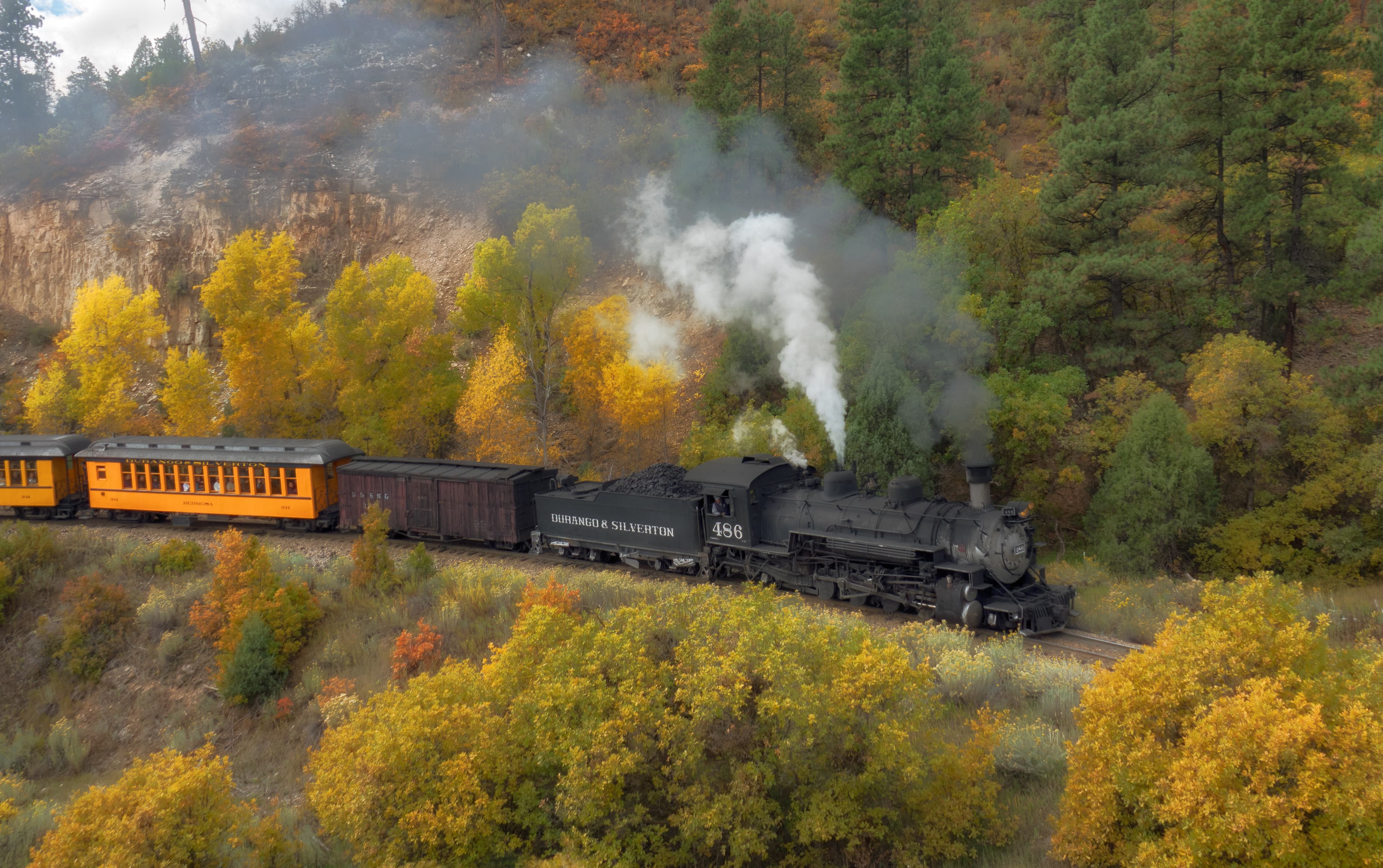
Durango & Silverton Narrow Gauge Railroad
A historic 19th-century steam railway climbing through Colorado’s San Juan Mountains on a narrow-gauge line.
Nevada State Railroad Museum, Carson City
Home of Virginia & Truckee Railroad locomotives and the world's only operable McKeen motor car, in Carson City, Nevada.
Related Journeys & Mega-Projects

Grand Canyon Railway
A 65-mile heritage train journey from Williams, Arizona to the South Rim of the Grand Canyon

Brightline West
America's first true high-speed rail: Las Vegas to greater Los Angeles at 200 mph

California Zephyr
Chicago to San Francisco across the Rockies and Sierra Nevada
Help improve this page
Spotted something out of date or incorrect? Let our community know.
Looking for more spots? Browse the complete list of train spotting locations.
Quick Information
Country
United States
Region
Arizona
City
Valentine
Spot Type
Curve/Loop
Best Times
Late October through early November offers the best combination of lower sun angles for canyon photography and comfortable temperatures. Morning light illuminates westbound trains well; late afternoon favors eastbounds. The Amtrak Southwest Chief passes through late at night, so freight is the main attraction.
Visit Duration
2-4 hours (allow extra time for the dirt road access and hiking)
Cost
Free access from public land
Train Activity
Train Types
Frequency
60-70 trains per day (BNSF Southern Transcon mainline)
Access & Amenities
Parking
Available (Free — informal pulloffs along the dirt road)