Spotting Location
Richmond (BNSF/UP)
Richmond station sits at the convergence of BNSF's Stockton Subdivision and UP's Martinez Subdivision in the East Bay, offering views of two Class I railroads, Capitol Corridor and long-distance Amtrak services, plus active yard operations—all from a single public platform adjacent to the BART terminal.
Updated
Photos
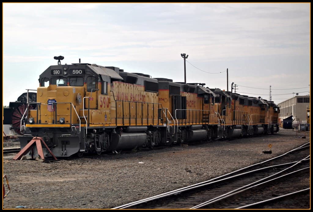
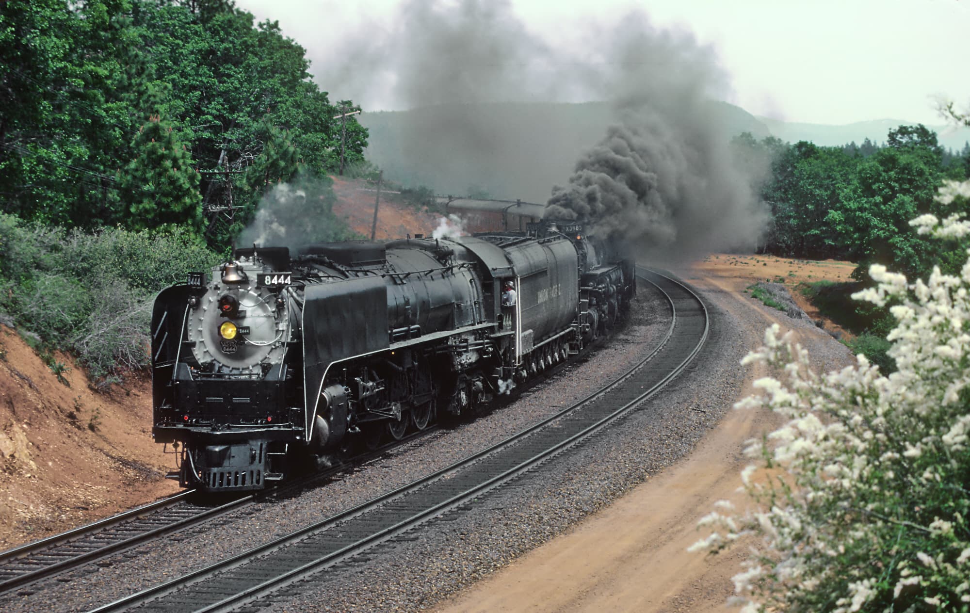
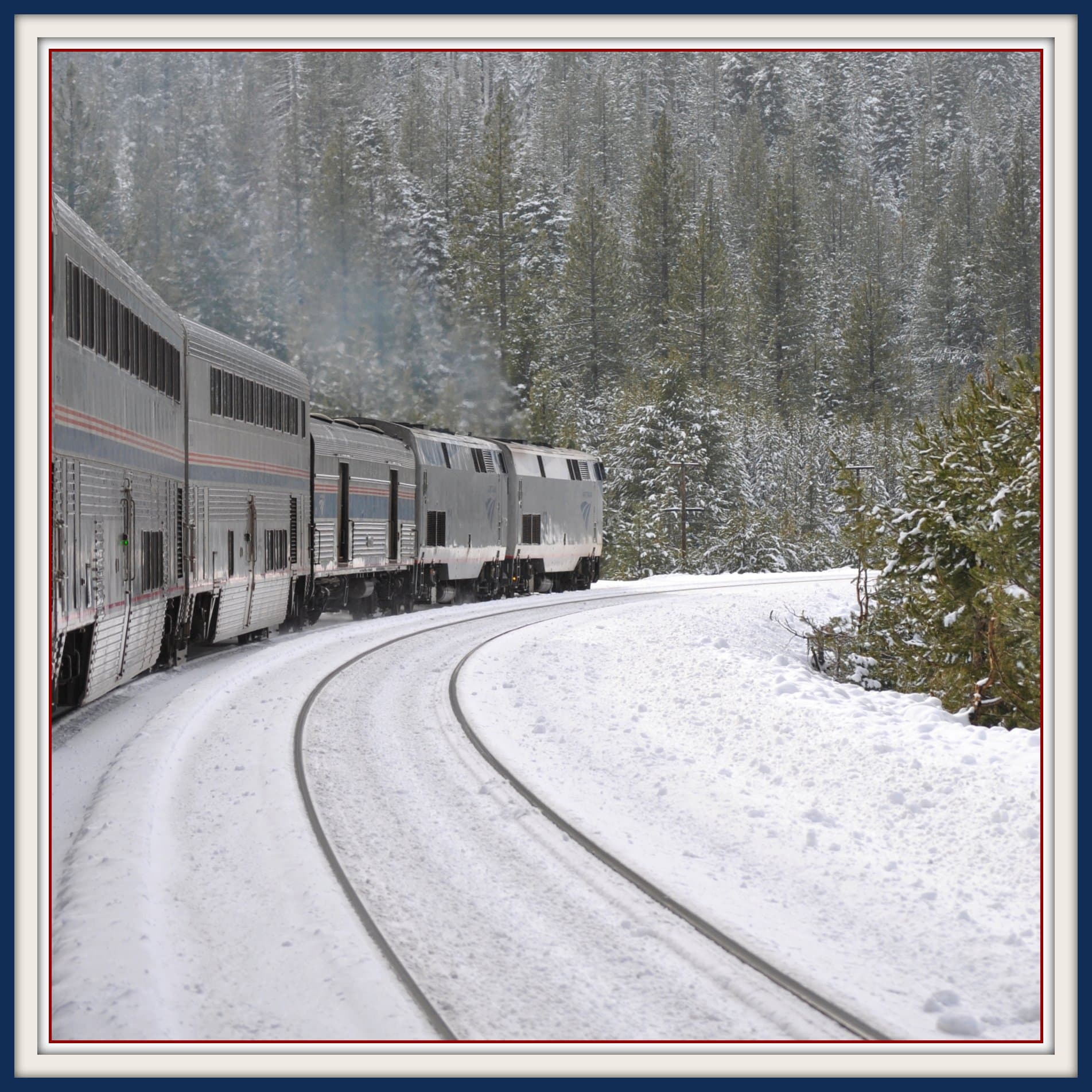
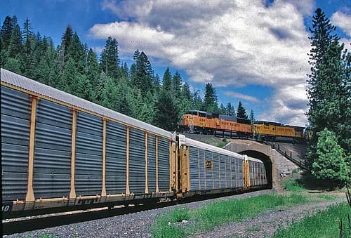
No photos yet — be the first to share one!
Trainspotting Experience
Richmond station places you between two active rail corridors with no fences or barriers beyond the standard platform edge. The Amtrak island platform, served by two of the three Union Pacific Martinez Subdivision main tracks, sits parallel to the BART terminal on the east side. Trains approach from both the northwest (toward Martinez and the Benicia Bridge) and the southeast (toward Emeryville and Oakland). From the platform, you can watch Capitol Corridor trains make their station stops—boarding operations, horn tests, and brake releases all happen within arm's reach.
To the west, BNSF's Stockton Subdivision yard (beginning at milepost 1189.0) generates a steady flow of switching activity. Tank car blocks serving nearby Chevron and other Richmond refineries are assembled here, and manifest freights stage before departing eastward through Franklin Canyon toward Stockton. The yard features locomotive facilities and a wye where a branch heads southeast toward the former Southern Pacific main at Stege. The sound environment is intense: diesel idling from the BNSF yard mixes with the rumble of UP through-freights and the periodic whoosh of BART trains on the elevated guideway directly overhead.
A pedestrian concourse running east-west under the tracks connects the parking areas to both platforms, giving you a unique below-grade perspective on passing trains. The entire station complex sits within the Iron Triangle neighborhood, named for the intersecting rail lines that define this part of Richmond.
Landscape, Setting & Local Atmosphere
Richmond's station sits on flat terrain near the eastern shore of San Pablo Bay, roughly 16 miles northeast of San Francisco. The surrounding area is urban-industrial, with the Port of Richmond's container cranes visible to the west and refinery infrastructure dotting the skyline to the north. On clear days, Mount Tamalpais (2,574 ft) rises across the Bay to the northwest, and the ridgeline of the Berkeley Hills frames the eastern horizon.
The weather follows classic Bay Area patterns: cool, foggy mornings that typically burn off by midday to reveal bright sunshine, followed by golden late-afternoon light. Summer highs average around 72°F with persistent afternoon winds off the Bay; winter brings occasional rain but temperatures rarely drop below 45°F. The morning fog creates atmospheric conditions for photography—backlit exhaust plumes from idling locomotives against diffused light can produce dramatic images. The salt air from San Pablo Bay mixes with industrial scents of diesel and creosote, reinforcing the working-railroad atmosphere that defines this spot.
Type & Frequency of Train Activity
Richmond sees traffic from two Class I railroads and multiple Amtrak services, making it one of the busiest rail-watching locations in the East Bay.
Amtrak Capitol Corridor: Up to 15 weekday round trips (30 directional movements) operate between Sacramento/Auburn and San Jose, with most trains making scheduled stops at Richmond. These Siemens Charger-hauled consists of Comet coaches provide prolonged platform views during boarding.
Amtrak California Zephyr: One daily train in each direction connects Chicago to Emeryville via the Sierra Nevada and Donner Pass, stopping at Richmond. The westbound typically arrives mid-morning; the eastbound departs mid-afternoon.
Amtrak San Joaquin: Several daily round trips between Oakland and Bakersfield/Sacramento also serve Richmond.
BNSF Railway: The Stockton Subdivision originates at Richmond yard (MP 1189.0), a single-track, Track Warrant Controlled (TWC) line with Absolute Block Signals (ABS) and a 45 mph speed limit at the yard. BNSF runs manifest freights, tank car blocks for local refineries, and intermodal trains through here. The Richmond Pacific Railroad (RPRC) operates 2.5 miles of terminal trackage at the Port of Richmond and interchanges with both BNSF and UP.
Union Pacific: The Martinez Subdivision carries UP freight traffic between Roseville and Oakland through Richmond. UP trains reach up to 79 mph on the stretch between Emeryville and Richmond. Expect a mix of manifest, intermodal stack trains, and grain trains.
Best Angles for Photos & What Railfans Enjoy Most
Platform East End: Standing at the east end of the Amtrak island platform, you can frame approaching westbound trains with the BNSF yard throat as a leading line. Morning light backlights exhaust plumes from the yard, creating dramatic silhouette opportunities. A 70-200mm zoom isolates locomotives against the urban skyline.
Pedestrian Concourse Approaches: The concourse entrances at street level (Nevin Avenue alignment) offer low-angle shots of trains passing overhead. This perspective emphasizes the mass and scale of freight consists in a way that platform-level shots cannot.
BART Elevated Structure: The overhead BART guideway creates an unusual framing element. Afternoon sun illuminates eastbound locomotive noses while the BART structure provides partial shade and weather protection for the photographer below—a practical advantage unique to this spot.
Richmond Greenway Trail: A short walk south from the station along this converted rail trail yields open sightlines of northbound trains with eucalyptus trees as natural framing elements. Late afternoon produces warm side-lighting on auto-rack and intermodal consists. The trail is flat and paved, suitable for tripod setups.
For best results, bring a 70-200mm telephoto for platform shots and a wide-angle (24-35mm) to capture the juxtaposition of freight operations with BART infrastructure overhead.
Historical or Cultural Relevance
Richmond's railroad history dates to 1900, when the Atchison, Topeka and Santa Fe Railway (AT&SF) chose Ferry Point on Point Richmond as the western terminus of its transcontinental mainline. Passengers arriving by rail would board ferries to San Francisco from a pier at the end of the line. Santa Fe built a tunnel through the Potrero San Pablo ridge to reach the ferry landing, and by 1901 had established a full yard with maintenance shops and roundhouses.
During World War II, Richmond's rail infrastructure became critical to the war effort. The Kaiser Shipyards—which built 747 ships between 1942 and 1945—depended on rail to move materials and workers. The yard handled troop trains and war materiel bound for the shipyards, a heritage now commemorated by the Rosie the Riveter WWII Home Front National Historical Park.
The Key System, an electric interurban network, also served Richmond with streetcar service through its East Shore and Suburban Railway division, connecting Richmond, San Pablo, and El Cerrito. During WWII, the Key System built a special railway connecting Emeryville to the Kaiser Shipyards. The Key System ceased rail operations in 1958.
By the late 1980s, Santa Fe Railway (which merged into BNSF in 1995) no longer needed the vast waterfront acreage at Point Richmond. Today, the BNSF Stockton Subdivision yard remains active on a smaller footprint, while UP's Martinez Subdivision continues the legacy of through-freight service to Oakland and the Port. The current station complex serves as an intermodal hub connecting BART (opened to Richmond in 1973), Amtrak, and AC Transit bus service.
What Makes This Spot Different
Richmond is one of the rare West Coast locations where you can observe two competing Class I railroads (BNSF and UP), a high-frequency Amtrak corridor, and an active freight yard—all from a single publicly accessible platform. The adjacent BART terminal means you can reach this spot without a car from anywhere in the Bay Area, arriving directly on the platform with no walk required.
Unlike nearby Jack London Square in Oakland, where trains slow through an urban setting, Richmond offers both main-line speed running (UP trains reach 79 mph on the Martinez Subdivision) and close-up yard operations. The BNSF yard's refinery tank car traffic and Richmond Pacific Railroad's port switching add industrial variety not found at other Bay Area railfan spots. The elevated BART structure provides weather shelter without blocking sightlines—an unusual convenience for an outdoor railfan location.
The station also sits within walking distance of the Golden State Model Railroad Museum in Point Richmond and the Rosie the Riveter WWII Home Front National Historical Park, making it possible to combine a railfan session with rail-themed cultural visits.
Frequently Asked Questions
QHow do I get to Richmond station without a car?
Take BART to Richmond station (end of the Orange or Red Line). The Amtrak platform is directly adjacent—just walk through the pedestrian concourse under the tracks. No driving or parking needed.
QIs there parking at Richmond station?
Yes. The station has a BART parking lot accessible from Nevin Avenue. Amtrak passengers can also use this lot. Check BART's website for current parking fees and availability.
QHow many trains pass through Richmond per day?
Approximately 40-50 train movements daily, including up to 30 Capitol Corridor trains, 2 California Zephyr trains, San Joaquin service, BNSF and UP freight trains, and yard switching movements.
QIs it safe to watch trains at Richmond station?
The Amtrak platform is publicly accessible and well-lit. Stay behind the yellow tactile edge strip on the platform. The Iron Triangle neighborhood has an urban character—exercise normal city awareness, especially after dark.
QCan I see both BNSF and UP trains from the same spot?
Yes. The Amtrak platform offers views of UP Martinez Subdivision through-traffic on the main tracks and BNSF Stockton Subdivision yard operations to the west. This dual-railroad visibility is what makes Richmond special among Bay Area railfan spots.
Safety Tips
Stay well behind the yellow tactile warning strip on the platform edge—UP freights pass at up to 79 mph with significant wind blast. Wear hearing protection if sensitive to noise; horn blasts at the nearby grade crossings are frequent. The Iron Triangle neighborhood is urban; keep valuables secure and be aware of your surroundings, especially after dark. The BART parking lot is well-lit and monitored.
Seasonal Information
Summer fog can reduce visibility and flatten light for photography, typically clearing by late morning. Winter rain is infrequent but brings muddy conditions on the Richmond Greenway path south of the station. The best photography light occurs in spring and fall when the sun angle produces warm side-lighting on eastbound trains in the afternoon. Train frequency is consistent year-round.
Nearby Lodging
Find places to stay near Richmond (BNSF/UP).
This lodging map is provided by Stay22, a third-party service that may set cookies. It loads only with your consent.
Accommodation results are provided by Stay22; we may earn a commission on bookings made through this map.
Nearby Attractions
2.8 miles / 4.5 km
One of the largest model railroad museums on the West Coast, featuring 10,000 sq ft of operating layouts in O, HO, and N scales depicting Northern California scenery. Operated by the East Bay Model Engineers Society, founded in 1933. Open weekends, April through December.
2 miles / 3.2 km
National park preserving Richmond's WWII home front legacy, including the Kaiser Shipyards that built 747 ships. Free admission. Visitor center open daily 10 AM-5 PM. Directly tied to Richmond's railroad heritage—rail was essential for moving materials to the shipyards.
2.5 miles / 4 km
Restored WWII Victory ship built at the Richmond Kaiser Shipyards, now a museum ship. One of only a few Victory ships preserved. Offers self-guided and guided tours. Part of the Rosie the Riveter National Historical Park.
3 miles / 4.8 km
307-acre park in Point Richmond with shoreline picnic areas, Keller Beach for swimming, a fishing pier at historic Ferry Point (the original Santa Fe Railroad ferry terminal), and hilltop trails with panoramic Bay views including Mount Tamalpais.
3.5 miles / 5.6 km
Popular bayfront park with walking trails and panoramic views of San Francisco Bay. One of the largest off-leash dog parks in the Bay Area. The paved Bay Trail offers views of passing freight trains on the nearby rail corridor.
Official Resources
Related on Spotatrain
Spots Near Richmond

San José (Diridon Station)
San Jose Diridon Station is the central passenger rail hub for Silicon Valley, where Caltrain electric commuter trains, Amtrak Capitol Corridor, ACE commuter rail, the Coast Starlight, and VTA light rail all converge in a 1935 Italian Renaissance Revival depot listed on the National Register of Historic Places.
Roseville (UP J.R. Davis Yard)
Union Pacific's J.R. Davis Yard in Roseville, CA — the largest classification yard west of the Rockies. A dedicated public railfan viewing platform offers close-up views of hump operations, locomotive servicing, and mainline trains on four converging subdivisions.
Cape Horn (Donner Pass)
A historic railroad cut on Union Pacific's Roseville Subdivision, carved 1,300 feet above the North Fork American River by Central Pacific workers in 1865-66. Double-track mountain railroading with 15+ daily freights and the California Zephyr.
Truckee (Donner Pass)
Downtown Truckee depot (10065 Donner Pass Rd) places railfans steps from the Union Pacific Overland Route at 5,820 ft elevation, where 15 to 25 daily freight trains and two Amtrak California Zephyr calls pass through the Sierra Nevada. The 1900 Southern Pacific stone depot and the nearby historic Summit Tunnel hiking trail make this a premier California railfan destination.
Williams Loop (Feather River)
Williams Loop is a one-mile rail spiral on Union Pacific's Feather River Route in Plumas County, where the track crosses over itself to gain 65 feet of elevation on the 1% grade to Beckwourth Pass. Built in 1914 by the Western Pacific Railroad, it is one of North America's most photographed trainspotting sites — roadside pullouts along Highway 70 give an elevated view of an entire freight train encircling itself.

Keddie Wye
The world's only railroad wye with two legs on bridges meeting in a tunnel, located on Union Pacific's Feather River Route in Plumas County, California. Part of Plumas County's Seven Wonders of the Railroad World.
More Spots in California
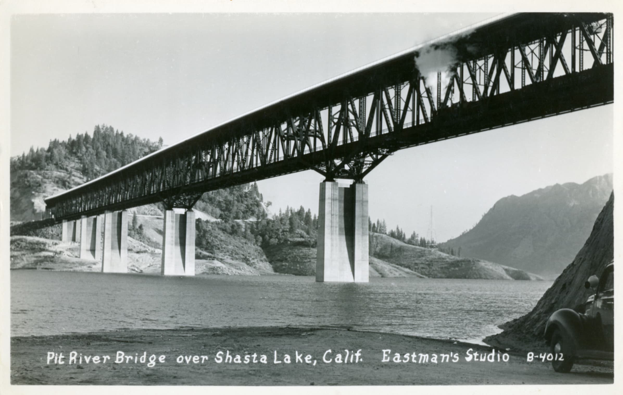
Pit River Bridge (Shasta Lake)
The Pit River Bridge is the only double-deck road-rail bridge of its kind in California, carrying Interstate 5 on its upper deck and Union Pacific Railroad on its lower deck over Shasta Lake. Built in 1942 as part of the Shasta Dam project, this 3,588-foot steel deck truss span—officially the Veterans of Foreign Wars Memorial Bridge—is structurally the highest double-decked bridge in the United States, standing 500 feet above the original Pit River bed. Watching Union Pacific freight and Amtrak's daily Coast Starlight cross the bridge against the backdrop of Shasta Lake makes it a one-of-a-kind trainspotting destination.
San Luis Obispo (Horseshoe Curve)
A dramatic horseshoe curve on UP's Coast Line where trains climb the steepest grade between LA and San Francisco — 2.2% through tunnels and tight curves in the Santa Lucia Range.
Dunsmuir (Downtown)
Historic UP crew change point on the Shasta Route in Northern California, where the Valley and Black Butte subdivisions meet. About 18 trains daily, with the town's downtown offering street-level proximity to the main line.
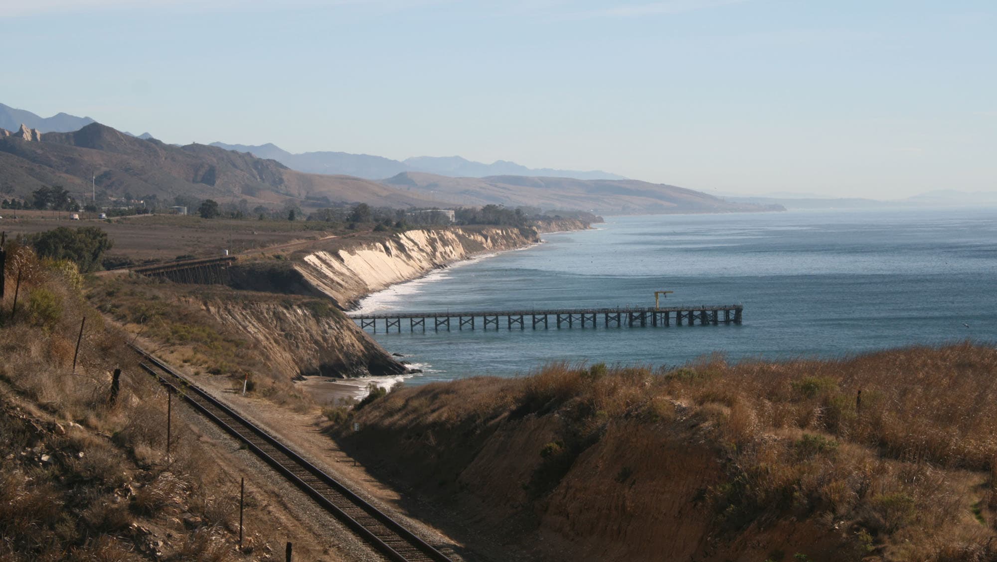
Gaviota (Coast Line)
The 811-foot Gaviota Trestle carries Union Pacific's Coast Line 80 feet above Gaviota Creek at its outlet to the Pacific Ocean, inside Gaviota State Park. One of Amtrak's most photographed landmarks, the 1900 steel trestle offers accessible railfan access with camping literally beneath the bridge.
Caliente (Tehachapi Pass)
A sweeping 180-degree horseshoe curve on the UP Mojave Subdivision at the foot of the Tehachapi Mountains, where Union Pacific and BNSF freights negotiate the grade at slow speeds just feet from Caliente-Bodfish Road.

Tehachapi Loop
A 0.73-mile railroad spiral where trains cross over themselves gaining 77 feet in elevation — one of the most famous railfan destinations in the world.
Related Experiences
Powell–Hyde Cable Car Line
An iconic open-air cable car ride clanking up and down San Francisco’s steep hills, offering panoramic city and bay views on a historic moving landmark.
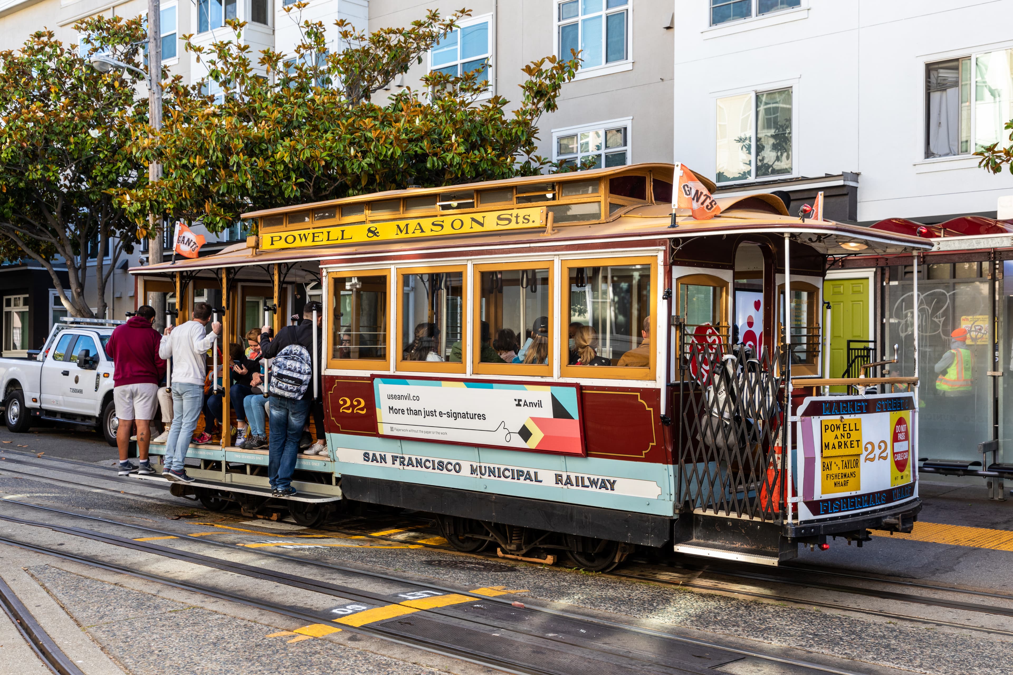
Powell-Mason Cable Car Line
San Francisco's oldest cable car line, running since 1888 from Powell & Market over Nob Hill to Fisherman's Wharf.
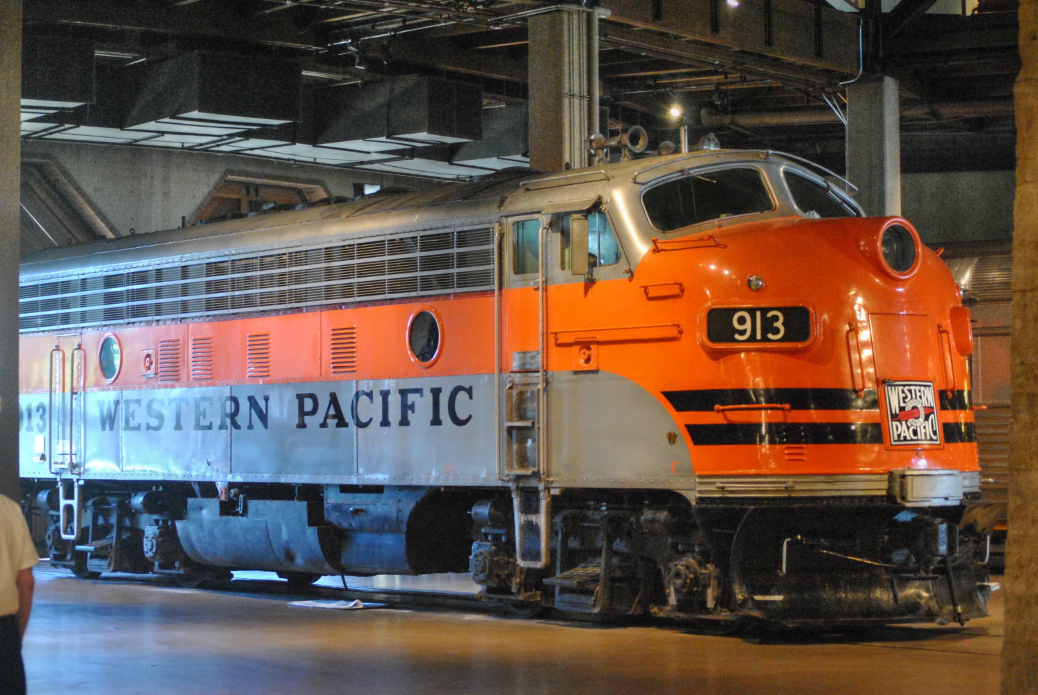
California State Railroad Museum
A world-class railroad museum in Old Sacramento featuring historic locomotives, rail cars, and immersive exhibits that bring California’s railroading past to life.
Related Journeys & Mega-Projects

California Zephyr
Chicago to San Francisco across the Rockies and Sierra Nevada

Brightline West
America's first true high-speed rail: Las Vegas to greater Los Angeles at 200 mph

Grand Canyon Railway
A 65-mile heritage train journey from Williams, Arizona to the South Rim of the Grand Canyon
Help improve this page
Spotted something out of date or incorrect? Let our community know.
Looking for more spots? Browse the complete list of train spotting locations.
Quick Information
Country
United States
Region
California
City
Richmond
Spot Type
Railway Station
Best Times
Weekday mornings (7-10 AM) see heavy Capitol Corridor commuter traffic overlapping with freight. Midday (10 AM-2 PM) offers the best light for eastbound photography and steady freight traffic. Late afternoon (3-6 PM) brings another wave of Capitol Corridor trains heading east toward Sacramento.
Visit Duration
2-4 hours
Cost
Free platform access. BART parking lot fees apply if driving (check bart.gov for current rates).
Train Activity
Train Types
Frequency
Approximately 40-50 train movements per day combining Amtrak passenger services (up to 30 Capitol Corridor, 2 California Zephyr, plus San Joaquin trains), BNSF and UP freight, and yard switching operations.
Access & Amenities
Parking
Available (BART parking lot rates apply. Check bart.gov/stations/rich for current pricing.)
Shelter
Available
Restrooms
Available