


Updated
Distance
223 km
Duration
4h 50min
Max altitude
737 m
Tunnels
16
Bridges
4
Gauge
1067mm
New Zealand's coast-to-coast crossing: 223 km from Christchurch to Greymouth in under five hours, over the Canterbury Plains, up the Waimakariri gorges and under the Main Divide.
About This Journey
The TranzAlpine crosses New Zealand's South Island from sea to sea in a single morning. It leaves Christchurch's Addington station on the Main South Line, runs 20 kilometres (12 miles) south-west across the Canterbury Plains to Rolleston, then swings north-west onto the Midland Line, 212 kilometres (132 miles) of railway that took two owners and forty-one years to finish. Ahead lie Darfield, Springfield and the wall of the Southern Alps.
Past Springfield the line begins to climb and the engineering starts. Rather than cut a new grade, the surveyors followed the pre-cut channels of the Waimakariri and Broken River gorges, which meant fifteen short tunnels and four viaducts in barely twenty kilometres (twelve miles). The Staircase Viaduct, opened in 1906, carries the track 72 metres (236 feet) above the stream on a 149-metre (489-foot) span; the Broken River viaduct of the same year stands 55 metres (180 feet) high; and Pattersons Creek is the longest of the group at 186 metres (610 feet).
Cass, a cluster of railway sheds on the open tussock, is the most painted railway station in the country. Rita Angus made it the subject of her 1936 canvas Cass, voted New Zealand's greatest painting in a 2006 television poll and held today by the Christchurch Art Gallery Te Puna o Waiwhetu. Beyond it the train reaches Arthur's Pass at 737 metres (2,418 feet), the highest working railway station in New Zealand, in a valley named for Arthur Dobson, who mapped the crossing in 1864 along an ancient pounamu trading route.
From Arthur's Pass the railway does not climb the pass at all: it goes under it. The 8.566-kilometre (5.323-mile) Otira Tunnel, begun in 1907 and opened in 1923, falls continuously at 1 in 33 through the Main Divide and was the longest tunnel in the British Empire when it opened. The train enters in Canterbury light and emerges in a different country: beech forest, rain and the green valleys of Otira. The last stretch runs past Lake Brunner, the largest lake on the West Coast, and down the Grey valley to Greymouth, 223 kilometres (139 miles) and about four hours fifty minutes from the start.
Why This Journey Is Iconic
Very few railways cross a country's entire mountain spine and reach open ocean on both sides inside five hours. The TranzAlpine does: braided riverbed and dry tussock on the Canterbury side, temperate rainforest and old coal country on the West Coast, with the Main Divide in between. The contrast is not gradual. It happens inside the 8.566 kilometres (5.323 miles) of the Otira Tunnel, and passengers who go in under Canterbury sun regularly come out in West Coast rain.
The route is also a monument to a nineteenth-century obsession. The East and West Coast Railway League was formed in 1882 to force a crossing; a Royal Commission chose the Waimakariri valley and Arthur's Pass line in 1884; the private New Zealand Midland Railway Company was floated in 1886 and had built only about 120 kilometres (75 miles) before the government seized the works in 1895. No train ran through from Christchurch to Greymouth until the Otira Tunnel opened in 1923, forty-one years after the League first met.
For the traveller, the open-air viewing carriage is what separates the TranzAlpine from a good window seat. It is an unglazed van open to the weather, and it is where the gorge photographs are taken: the Staircase and Broken River viaducts pass directly beneath it, and the train is slow enough through the gorges to work a camera properly.
What to Expect
Two classes run on every service. Scenic is the standard product: large panoramic windows, power sockets at the seat and access to a cafe carriage. Scenic Plus adds extra-legroom reclining seats in a dedicated carriage and a seasonal menu the operator describes as inspired by the Canterbury Plains, the Southern Alps and the West Coast, cooked in a purpose-built kitchen car and served at the seat with drinks included.
The consist is distinctive. Great Journeys New Zealand runs four to six AK class panoramic carriages, one or two AKC cafe cars, one or two AKV open-air observation vans and an AKL luggage van, hauled by DX class diesel-electric locomotives on 1,067 mm (3 ft 6 in) track. Seats are allocated at check-in rather than at the time of booking, so arriving early matters if you care which side you sit on.
Which side? Heading west from Christchurch, the right-hand side has the better of the Waimakariri gorge; coming back east from Greymouth, take the left. Heavy bags are checked into the luggage van, so keep a jacket and your camera with you in the cabin: the open-air van is unheated and exposed, and Arthur's Pass sits at 737 metres (2,418 feet).
History
The idea of a railway across the Southern Alps arrived long before the money to build one. The East and West Coast Railway League formed in 1882 to lobby for a crossing; in 1884 a Royal Commission settled on the direct route up the Waimakariri valley to Arthur's Pass; and in 1886 Nelson and Canterbury interests floated the New Zealand Midland Railway Company to build it. The company managed roughly 120 kilometres (75 miles) before its finances failed, the government took possession in 1895, and by 1900 it held the whole works, with rails reaching Otira from the west and Broken River from the east.
Progress east of the divide was slow and costly. Trains reached the temporary Broken River terminus in 1906, Cass in 1910 and the township of Arthur's Pass in 1914. Only the tunnel was left, and it took sixteen years: boring began in 1907 and the 8.566-kilometre (5.323-mile) Otira Tunnel opened on 4 August 1923, electrified at 1,500 V DC from the first day because steam could not safely work a bore that long at 1 in 33. The overhead came down on 1 November 1997, after seventy-four years of electric haulage.
The named passenger service is far younger than the line it uses. The TranzAlpine began on 22 November 1987 under InterCity Rail, passed to Tranz Scenic in 1995, to KiwiRail Scenic Journeys in 2012, and to the Great Journeys New Zealand brand thereafter. It carried 204,000 passengers in 2006 and around 130,000 a year by 2016.
Engineering Highlights
The hard kilometres lie between Springfield and Cass, where the railway follows the Waimakariri and Broken River gorges instead of fighting them. Fifteen short tunnels and four viaducts were needed to hold a workable grade on ground that is steep, loose and constantly cut by tributaries. Counting the Otira bore, the Midland Line carries sixteen tunnels in all.
Three of the viaducts date from 1906. Staircase is the tallest, lifting the track 72 metres (236 feet) over a 149-metre (489-foot) crossing; Broken River stands 55 metres (180 feet) high and 133 metres (436 feet) long; Pattersons Creek is lower at 37 metres (121 feet) but the longest of the three at 186 metres (610 feet). A fourth, the Kowai viaduct, sits at the eastern foot of the climb.
The Otira Tunnel is the set piece. At 8.566 kilometres (5.323 miles) it was the longest tunnel in the British Empire when it opened in 1923, and it remains unusually steep for its length, falling continuously at 1 in 33 (3 per cent) from the Arthur's Pass portal at 737 metres (2,418 feet) toward Otira. Because a loaded train would have filled the bore with exhaust, the tunnel was wired at 1,500 V DC from the day it opened and stayed under electric haulage until 1 November 1997.
Best Time to Travel
The TranzAlpine runs year-round, seven days a week, with no service on Christmas Day, and each season shows a different mountain. Winter, June to August, puts snow on the Torlesse and Craigieburn ranges down to the tussock line and gives the classic photograph, but daylight is short and the eastbound return finishes late in the day.
Spring, September to November, is the strongest all-round window: snowmelt fills the Waimakariri and Broken River, the braided channels run milky blue, and the alpine basins above Arthur's Pass come into flower. Summer, December to February, is the busiest, warmest and driest on the Canterbury side and the best time to spend the crossing in the open-air van. Book weeks ahead in that window, because the train is seating-only and does sell out.
Autumn, March to May, brings settled air and the clearest long views up the Waimakariri headwaters toward Mount Binser. Whatever the month, remember that the two ends of the line have different climates: the West Coast is far wetter than Canterbury, and a bright departure from the plains tells you nothing about the weather waiting on the far side of the Otira Tunnel.
Practical Tips
Booking is compulsory. Great Journeys New Zealand states that its trains are seating-only and cannot take walk-on passengers once full, so buy ahead, and buy early for Scenic Plus, which runs in a single dedicated carriage on each train.
Check in at least twenty minutes before departure. The Christchurch station at 35 Troup Drive in Addington opens at 07:00 for the morning TranzAlpine and has free all-day parking, which is what makes the return day excursion practical. Greymouth station is at 164 Mackay Street at the town-centre end, where InterCity coaches connect onward for Nelson, Franz Josef and Fox Glacier.
Seats are assigned at check-in and not at booking, so ask at the counter if you want the right-hand side westbound. Large bags go into the luggage van, so keep a warm layer and your camera in the cabin for the open-air van. One practical quirk: the operator does not publish a timetable on its website, directing travellers instead to the booking engine or to its automated line on 0800 872 467, so confirm your times when you book rather than trusting a third-party schedule.
Traveling with Pets
Service animals only
Great Journeys New Zealand allows only registered assistance dogs: "10.3 Other dogs, cats, and small domestic pets ('animals') may not be carried on any Service other than on an Interislander Service and at our discretion." The booking terms are blunter still — no animals other than registered assistance dogs. An assistance dog must be declared at booking, stay seated beside you and restrained throughout, with documentation of ADI accreditation or IGDF membership. The Interislander pet arrangement is a ferry vehicle-deck and kennel service and has nothing to do with the train.
Verified — operator's pet policy
Route Stages
- km 0
Departure is from the Addington station at 35 Troup Drive, about 3 km south-west of the city centre, not from the old Gothic Revival terminus in the middle of town. The building opens at 07:00 for the morning TranzAlpine and has free all-day parking.
Departure station; free all-day parking; check-in 20 minutes before departure
- km 19
The junction where the train leaves the Main South Line and turns north-west onto the Midland Line. Everything from here to Greymouth is the 212 km line that the New Zealand Midland Railway Company began and the government finished.
Junction of the Main South Line and the Midland Line
- km 65
The end of the easy railway. The branch from Christchurch reached Springfield by January 1880 and stopped there while the country argued about how to get through the Alps. Past this platform the grade tilts up and the gorge work begins.
Railhead from 1880; start of the climb into the Waimakariri gorge
- km 75
The line climbs along the pre-cut channel of the Waimakariri, whose braided grey-blue channels spread across a bed far wider than the water in it. This is the section that needed fifteen short tunnels and four viaducts within about twenty kilometres. Best seen from the right-hand side westbound, or from the open-air van.
Braided river gorge; the signature TranzAlpine landscape
- km 81
The tallest structure on the line: a steel viaduct of 1906 carrying the track 72 metres (236 feet) above Staircase Stream on a 149-metre (489-foot) crossing. The open-air viewing van is directly over the drop.
72 m high, 149 m long, opened 1906; tallest viaduct on the Midland Line
- km 84
The second of the 1906 steel viaducts, 55 metres (180 feet) high and 133 metres (436 feet) long, thrown across the Broken River where it joins the Waimakariri. Broken River was the temporary end of the line from 1906 until the railway pushed on toward Cass.
55 m high, 133 m long, 1906; temporary railhead from 1906
- km 108
A handful of railway sheds on open tussock, reached by the line in 1910 and now the most famous railway station in New Zealand art: Rita Angus painted it in 1936 and the canvas was voted the country's greatest painting in a 2006 television poll. The train passes without stopping; the view opens north to Mount Binser and the upper Waimakariri.
Subject of Rita Angus's 1936 painting Cass; wide alpine basin views
- km 132737 m alt.
At 737 metres (2,418 feet) this is the highest working railway station in New Zealand and the summit of the line. The township, reached by rail in 1914, sits inside Arthur's Pass National Park and is named for Arthur Dobson, who mapped the crossing in 1864 along an old pounamu trading route. Many day travellers break the journey here.
Highest railway station in New Zealand; gateway to Arthur's Pass National Park
- km 137
The Main Divide, crossed underneath. Boring started in 1907 and the 8.566-kilometre (5.323-mile) tunnel opened on 4 August 1923, the longest in the British Empire at the time. It falls the whole way at 1 in 33, and was electrified at 1,500 V DC from opening day until 1 November 1997 because steam could not work it safely.
8.566 km at 1 in 33; longest tunnel in the British Empire on opening in 1923
- km 145
The western portal village, and for twenty-three years the point where passengers left the train and took a coach over the pass. Rails reached Otira from the west by 1900 and stopped there until the tunnel opened. The vegetation outside the window has already changed to West Coast beech forest.
Western tunnel portal; former coach transfer point 1900-1923
- km 223
Journey's end at 164 Mackay Street, at the mouth of the Grey River and the town-centre end of Greymouth. InterCity coaches leave from the station forecourt for Nelson, Franz Josef and Fox Glacier; the railway itself continues only as freight.
Terminus; coach connections down the West Coast
Getting to Christchurch
By Air
Christchurch Airport (CHC) is the main gateway and lies about 12 minutes by road from the Addington station. Door-to-door shuttles run from roughly NZ$19 for the first passenger plus a few dollars for each additional traveller, and a taxi is in the region of NZ$32. At the western end, Hokitika Airport (HKK) is the nearest field to Greymouth, roughly 40 kilometres (25 miles) south, served by a shuttle that takes about 30 minutes and costs around NZ$50 one way. Most visitors fly into Christchurch, ride west, and return by train, coach or hire car.
By Train
Christchurch is the hub of South Island passenger rail. The same operator runs the Coastal Pacific north from Christchurch to Blenheim and Picton, where the Interislander ferry crosses Cook Strait to Wellington, so the TranzAlpine slots into a longer rail itinerary from the North Island. There is no passenger service beyond Greymouth: the Midland Line continues west and south as a freight route only, and onward travel down the West Coast is by road.
By Car
State Highway 73, the Great Alpine Highway, shadows the railway from Christchurch over Arthur's Pass to the West Coast, which makes a one-way-by-train, one-way-by-road itinerary easy to plan. Road and rail part company at the divide: the highway climbs over the pass on the Otira Viaduct while the train goes underneath it, so the two give genuinely different views of the same mountains. Allow the best part of four hours for the drive between Christchurch and Greymouth in good conditions, and check road status in winter, when the pass can close for snow and ice.
Parking
Christchurch Railway Station at 35 Troup Drive in Addington has free all-day parking on site, reached through the Tower Junction retail area off Whiteleigh Avenue or Blenheim Road, with overflow spaces closer to the building. Free parking plus a same-day return service is what makes the TranzAlpine work as a day trip from Christchurch. Greymouth station on Mackay Street sits at the town-centre end with public parking nearby, but confirm the arrangement when you book if you plan to leave a car for several days.
Where to Stay
Find places to stay near Greymouth.
This lodging map is provided by Stay22, a third-party service that may set cookies. It loads only with your consent.
Accommodation results are provided by Stay22; we may earn a commission on bookings made through this map.
Videos
TranzAlpine train journey between Christchurch & Greymouth, New Zealand
New Zealand's most scenic rail journey | The TranzAlpine | Christchurch to Greymouth
Riding the Tranzalpine train | Most scenic train in New Zealand | Greymouth to Christchurch
New Zealand by Rail - part 1: TranzAlpine Scenic Train Greymouth - Christchurch
Photos
Tranzalpine Westbound
Springfield Station
Transportation options
TranzAlpine 2011
One of the many rivers
The TranzAlpine train
804, the retun TranzAlpine
Valley of Waimakariri River 23
Tranz Alpine NZ DSC 3748
Cass Railway Station
Eastbound TranzAlpine
KiwiRail TranzAlpine
External Resources
Heritage & history
Frequently Asked Questions
How long does the TranzAlpine take, and how far is it?▾
Do I need to book in advance?▾
What is the difference between Scenic and Scenic Plus?▾
Which side of the train has the better view?▾
Is there really an open-air carriage?▾
Does the TranzAlpine run in winter?▾
Can I stop along the way instead of riding straight through?▾
What is the highest point of the line?▾
Help improve this page
Spotted something out of date or incorrect? Let our community know.
Related on Spotatrain
Similar Journeys

Bernina Express
From Swiss glaciers to Italian palm trees across a UNESCO alpine crossing 2
Coast Starlight
Seattle to Los Angeles in 35 hours: Cascade summits, Mount Shasta and 104 miles of Pacific shoreline
Glacier Express
The slowest express train in the world: 8 hours across the Swiss Alps
Ffestiniog Railway
The world's oldest narrow gauge railway, from harbour to slate mountain

Tren a las Nubes
Argentina's rack-free climb to 4,220 m above the Puna
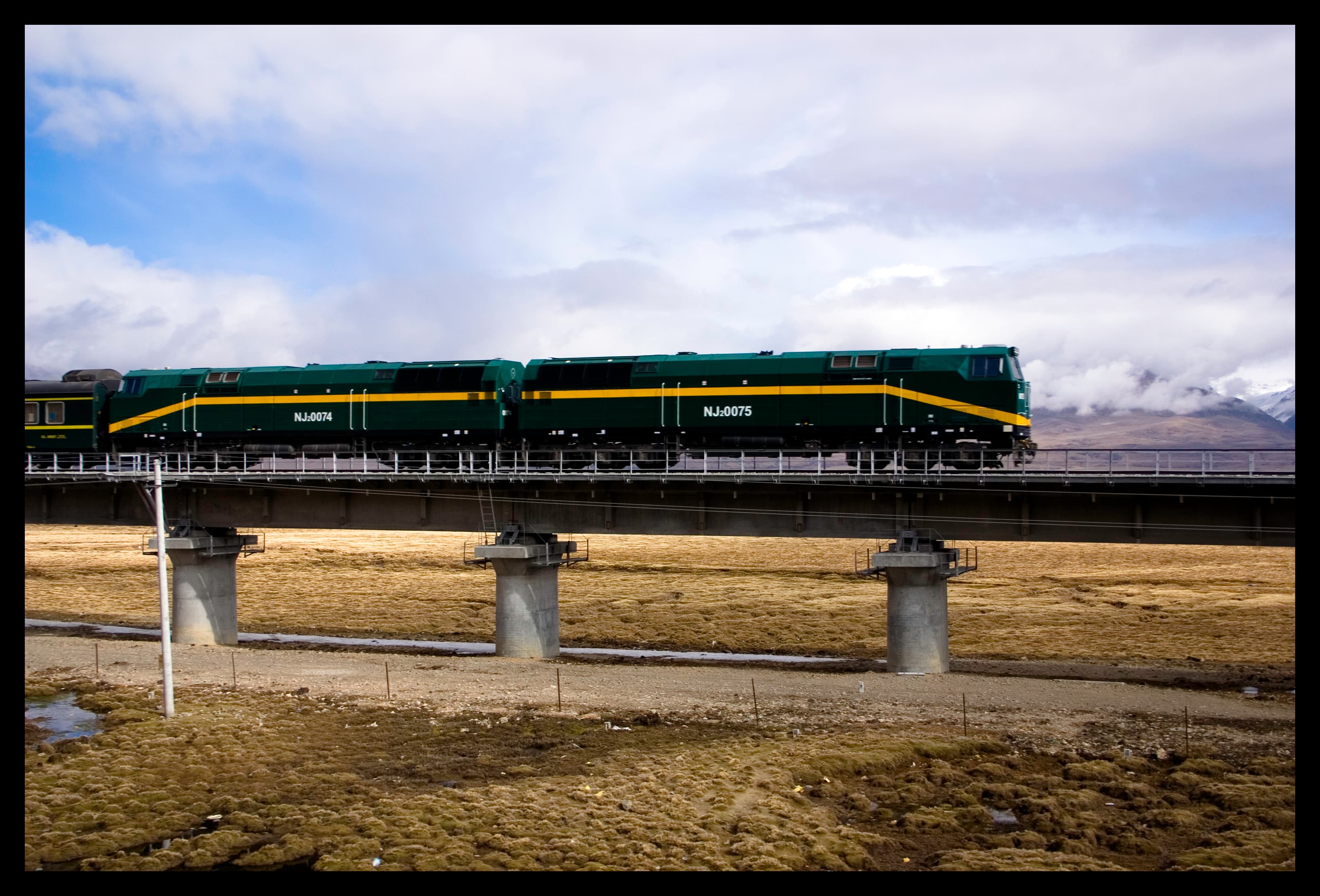
Qinghai-Tibet Railway
The world's highest railway, across the roof of the world to Lhasa
More Journeys Worldwide
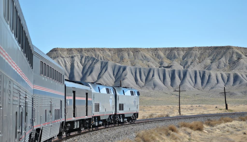
California Zephyr
Chicago to San Francisco across the Rockies and Sierra Nevada
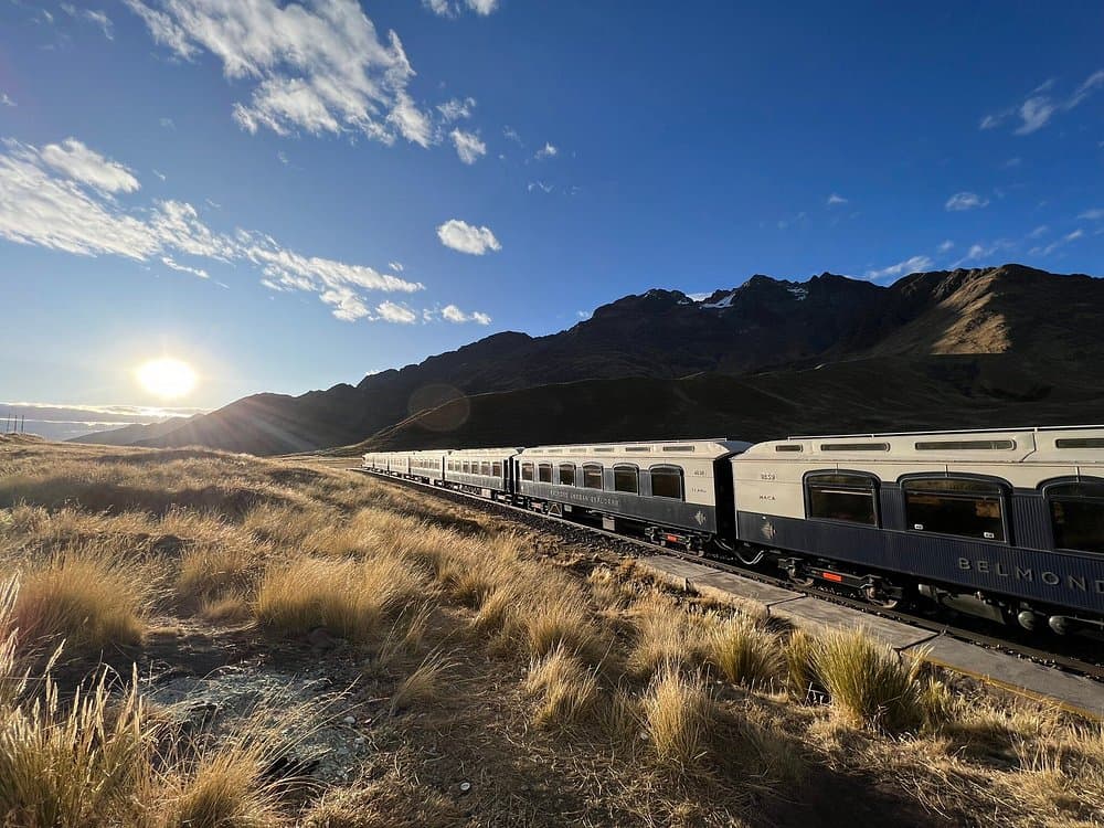
Belmond Andean Explorer
South America's first luxury sleeper train, across the roof of Peru
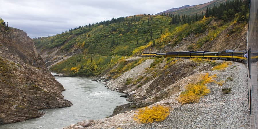
Denali Star
Alaska Railroad's flagship run to Denali and Fairbanks
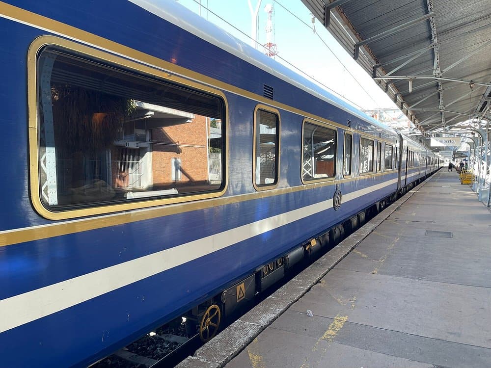
Blue Train
Pretoria to Cape Town in two nights, with a butler in every corridor

Bergensbanen
Oslo to Bergen across the roof of Norway
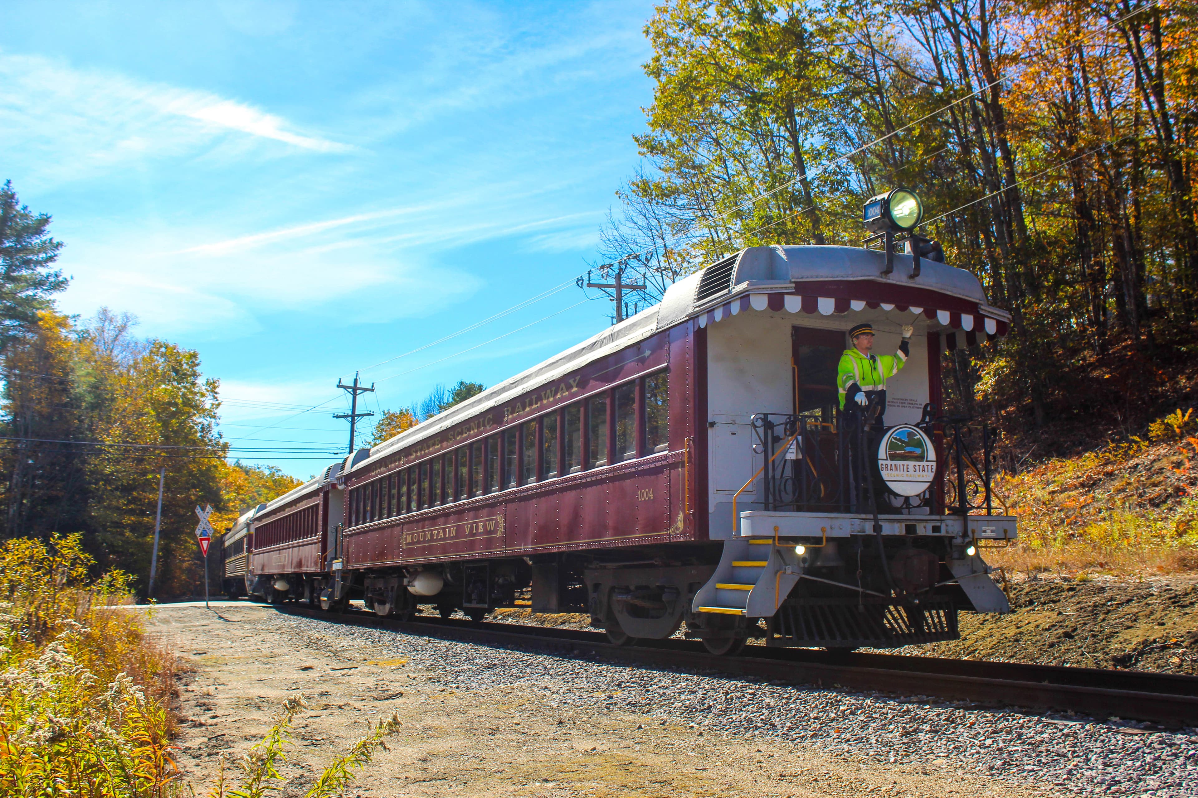
Granite State Scenic Railway
Vintage scenic train along the Pemigewasset River in the southern White Mountains
Explore around this route
1 place on Spotatrain within 25 km of this route — 1 experience.
- Ferrymead Heritage Park 8.2 km